Track details
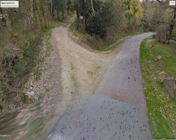
Ortachis - end point of Trail 644
Ortachis - end point of Trail 644
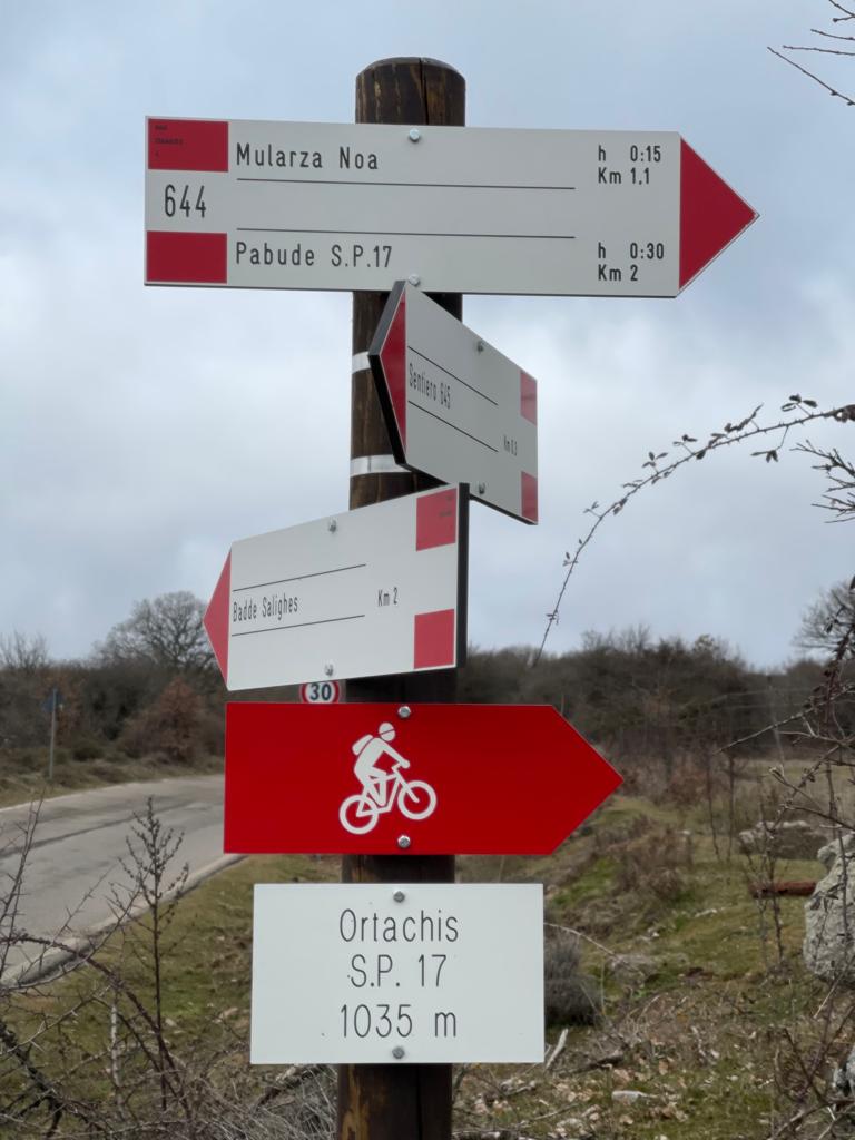
Ortachis - start point of Trail 645
Ortachis - start point of Trail 645
Mularza Noa Waterfall (Trail G 644)
Mularza Noa Waterfall (Trail G 644)

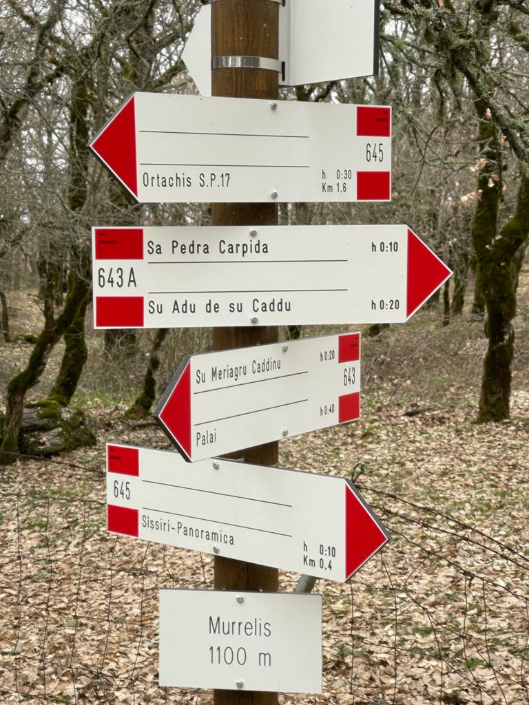
Murrelis - start point of Trail 643A, junction with Trail G 643
Murrelis - start point of Trail 643A, junction with Trail G 643
Pabude - end point of Trail G 643, start point of Trail G 644
Pabude - end point of Trail G 643, start point of Trail G 644
Sa Perda Carpida (G 643A)
Sa Perda Carpida (G 643A)
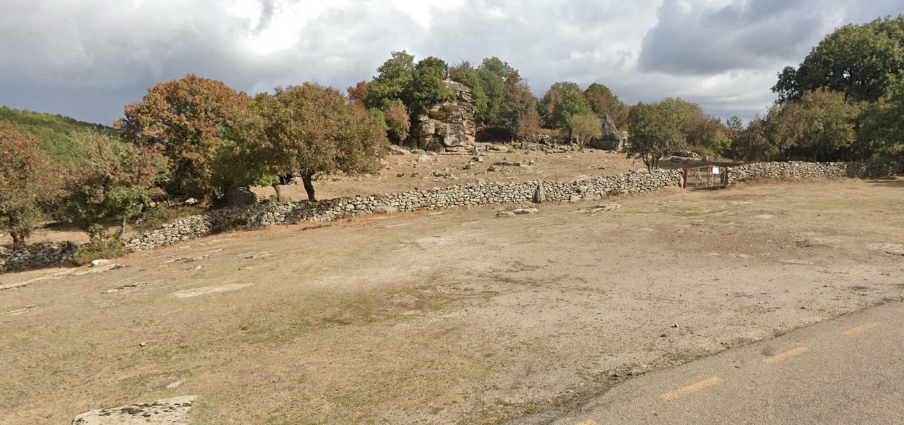
Sissiri - end point of Trail G 645
Sissiri - end point of Trail G 645