Track details
Distance
23.2km
Duration
6h 30min
Ascent
915m
Descent
981m
Starting altitude
408m
Arrival altitude
342m
Lowest point
61m
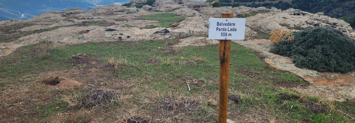
Highest point
534m
Distance
23.2km
Duration
6h 30min
Ascent
915m
Descent
981m
Starting altitude
408m
Arrival altitude
342m
Lowest point
61m
Highest point
534m