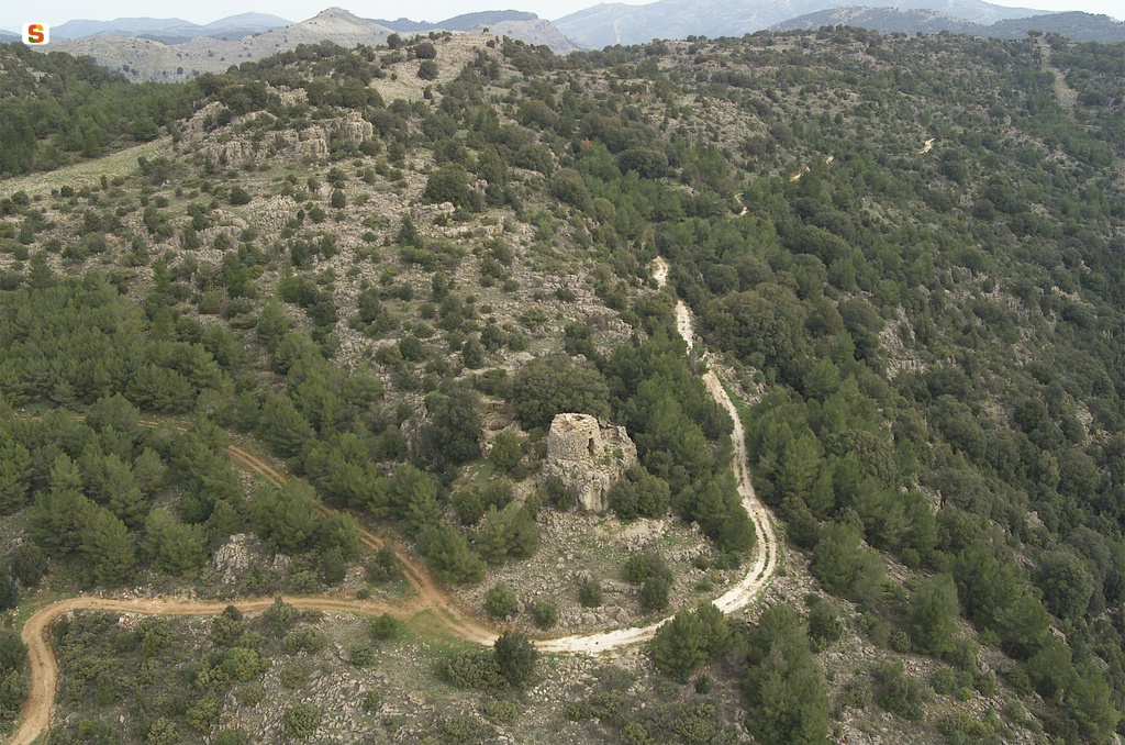
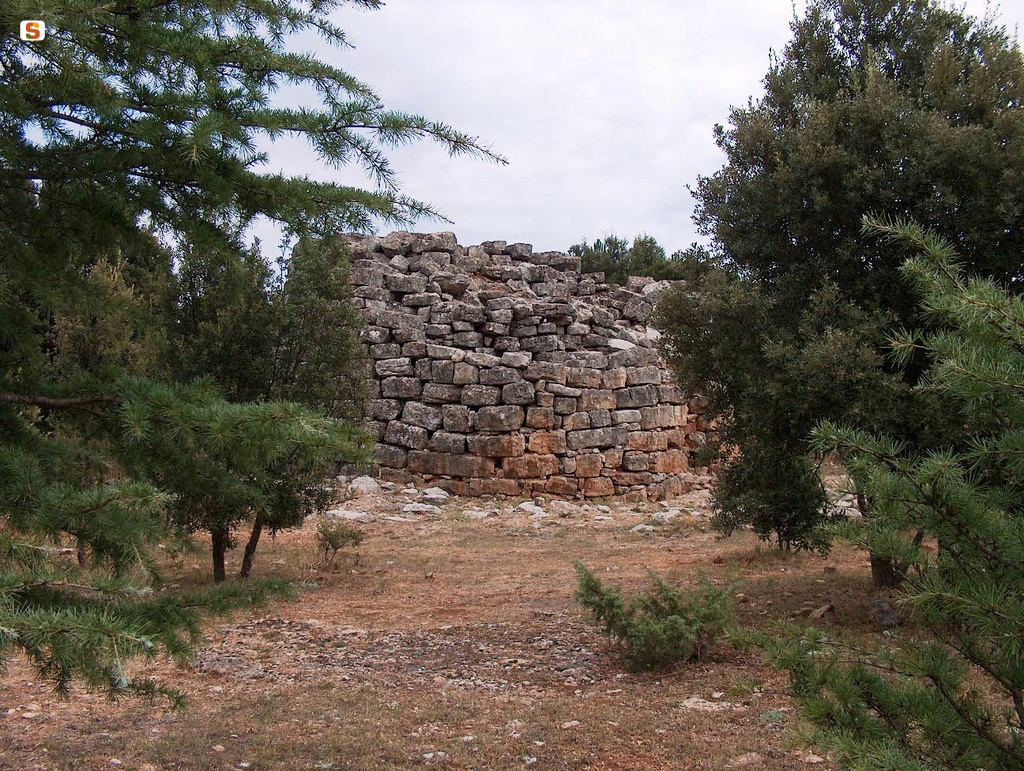
Track details
Distance
15.2km
Duration
4h 30min
Ascent
663m
Descent
717m
Starting altitude
783m
Arrival altitude
730m
Lowest point
730m
Highest point
959m
Distance
15.2km
Duration
4h 30min
Ascent
663m
Descent
717m
Starting altitude
783m
Arrival altitude
730m
Lowest point
730m
Highest point
959m