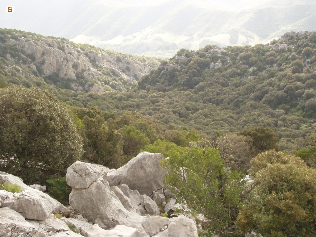
Track details
Old Cantoniera (roadside house) of Sant’Anna, start of SI Z10A
Old Cantoniera (roadside house) of Sant’Anna, start of SI Z10A
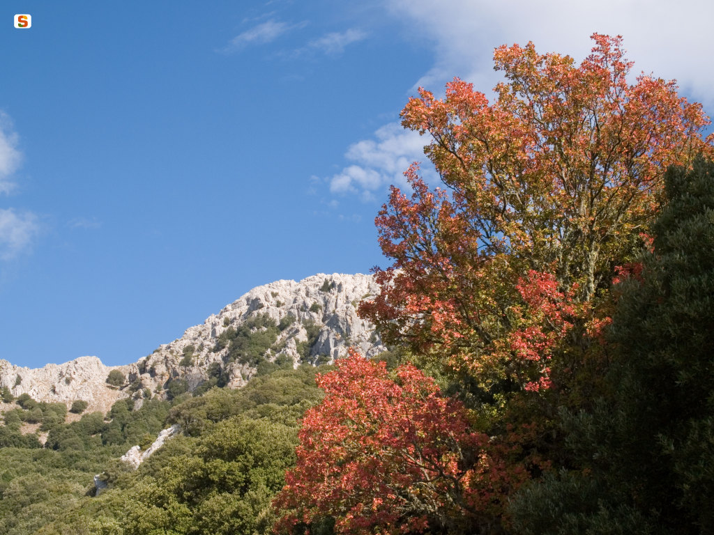
Old Cantoniera (roadside house) of Sant’Anna, end of SI Z09
Old Cantoniera (roadside house) of Sant’Anna, end of SI Z09
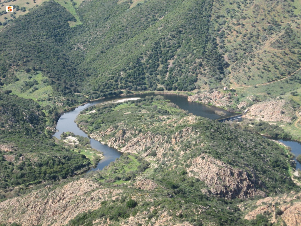
Secular Maple

Talisi Fountain
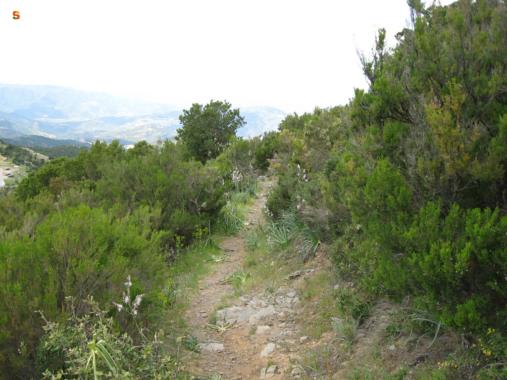
Start of section G-104A at the Guzzurra locality
Start of section G-104A at the Guzzurra locality

Start of the section of Trail G-101 on the Montalbo ridge
Start of the section of Trail G-101 on the Montalbo ridge
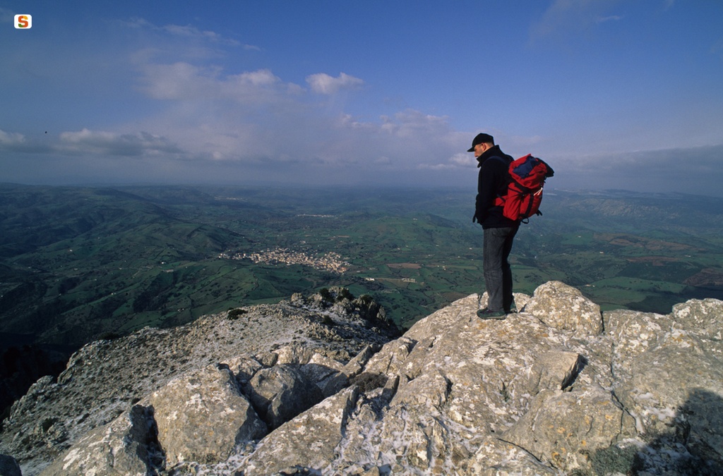
Starting point of Trail G-106
Starting point of Trail G-106
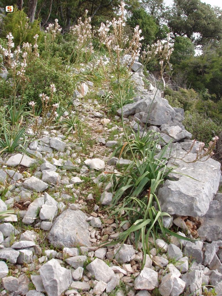
Norghio, end of SI Z10A
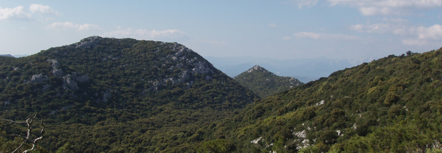
Norghio, start of SI Z10B
Norghio, start of SI Z10B
