Track details
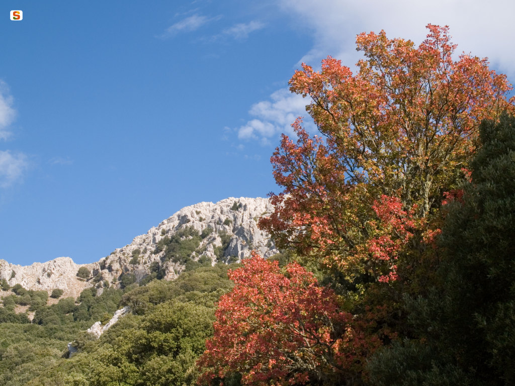
Coal Mine Mannone - Trail G 213
Coal Mine Mannone - Trail G 213

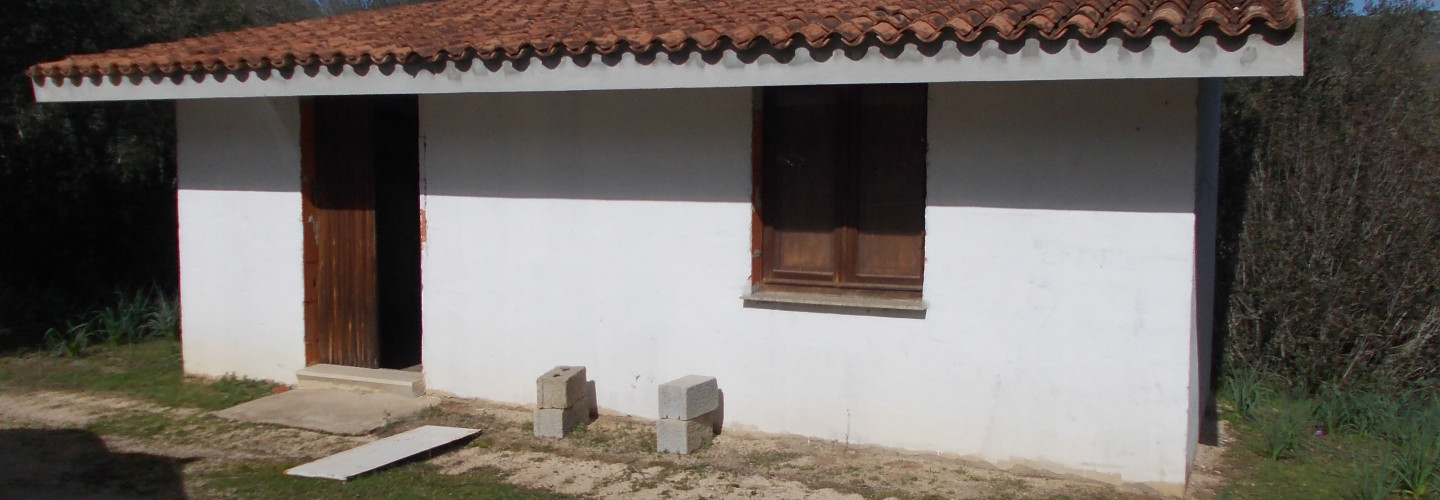
Giuanne Stuppa Forest Ranger Station, start of SI Z09
Giuanne Stuppa Forest Ranger Station, start of SI Z09
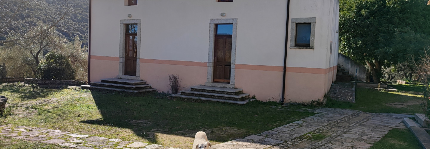
Giuanne Stuppa Forest Ranger Station, end of SI Z08
Giuanne Stuppa Forest Ranger Station, end of SI Z08
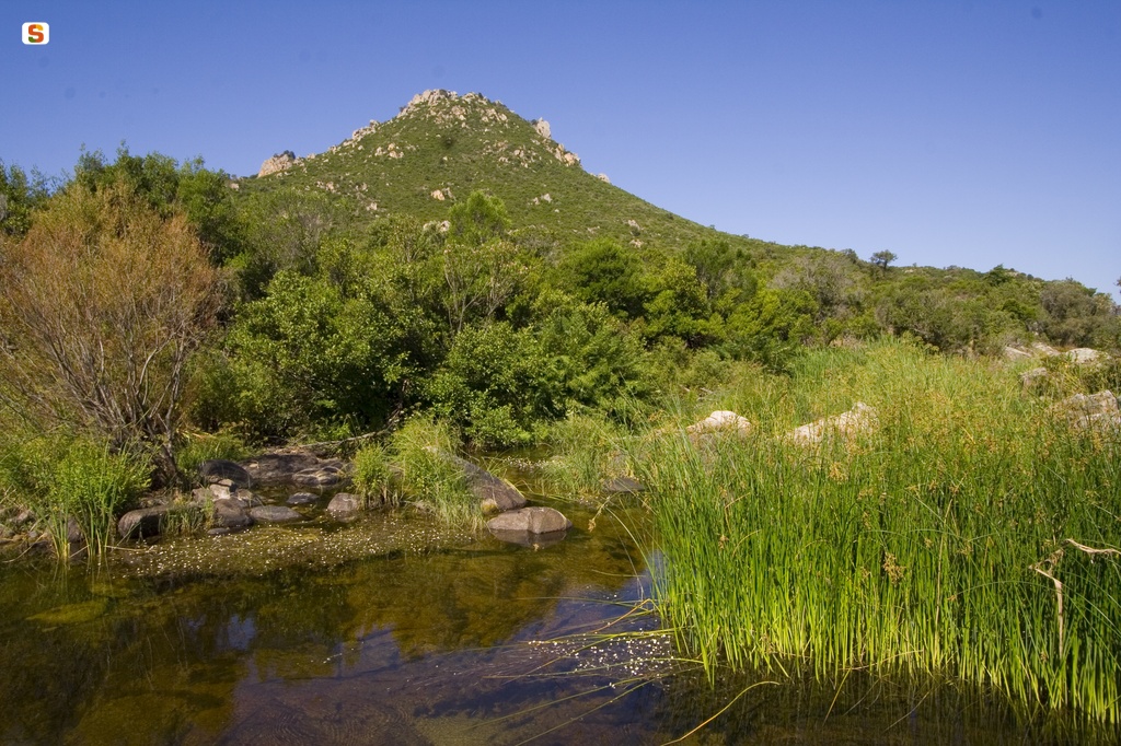
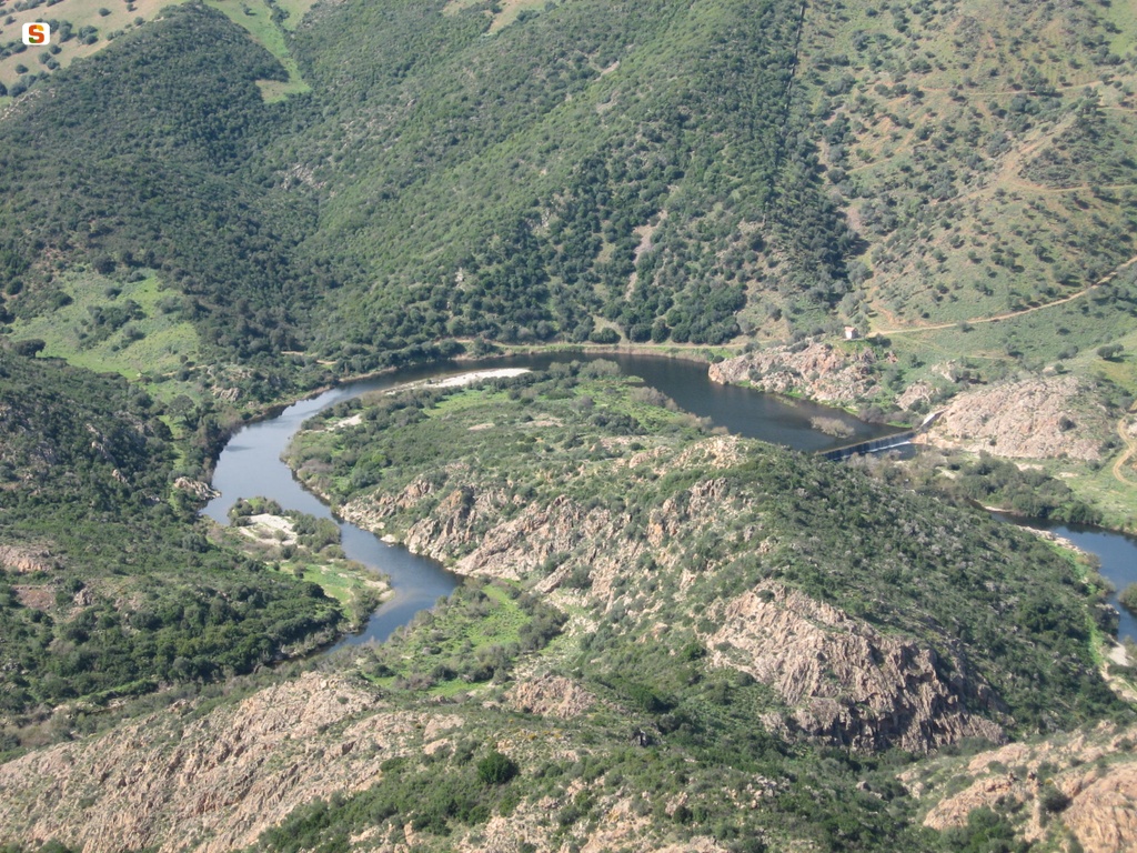
Prammas Small Lake
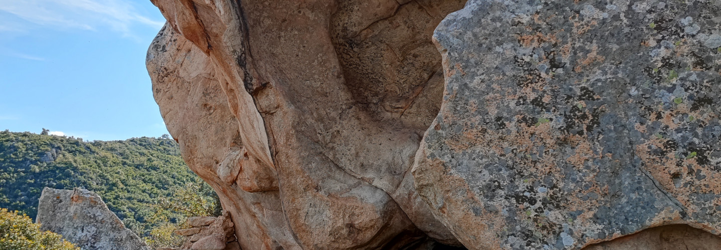
Sos Guttiatoglios

'Untana 'e Piras

Piras Shed
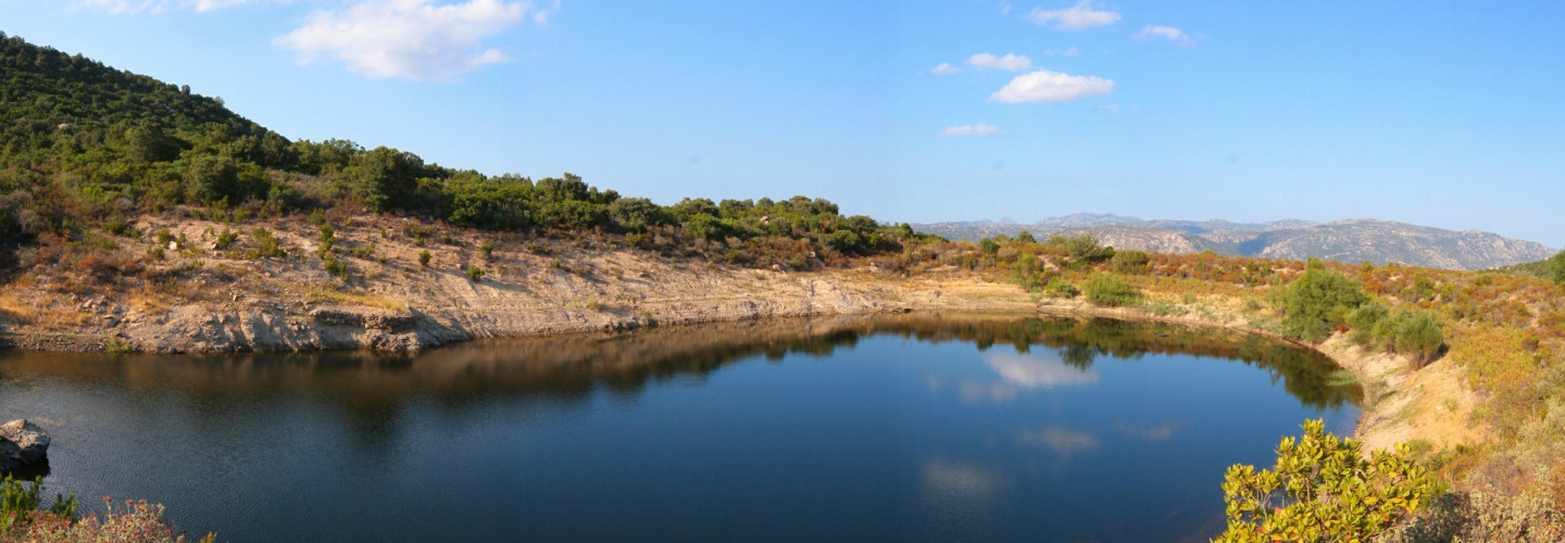
Conca 'e Garalu
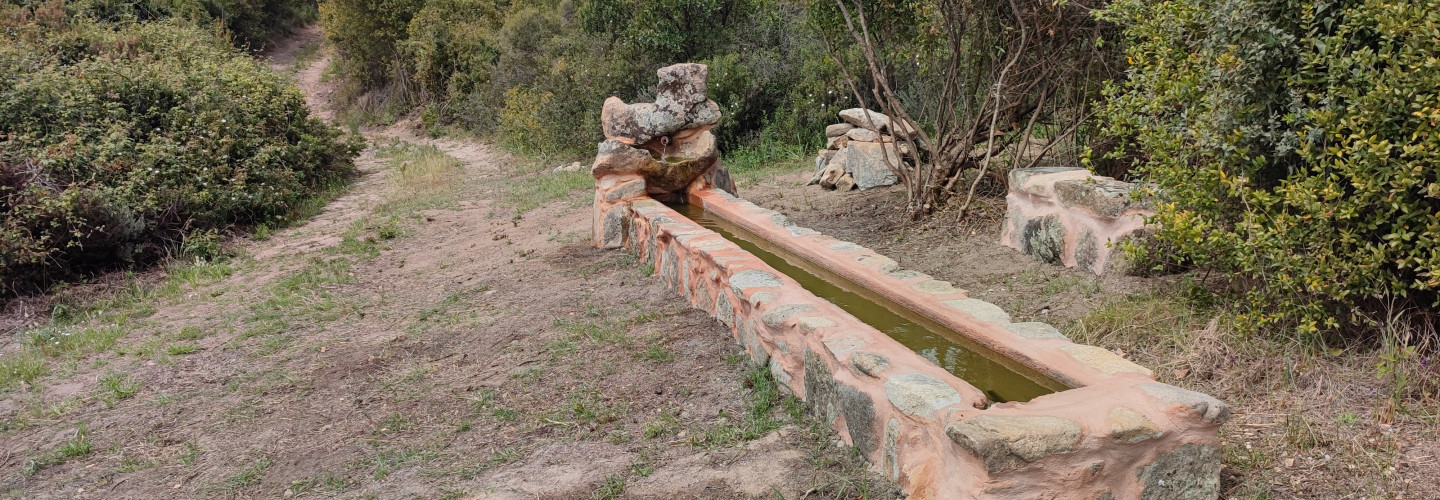
Spring and watering trough on G 220.
Spring and watering trough on G 220.
Cuile Prennache

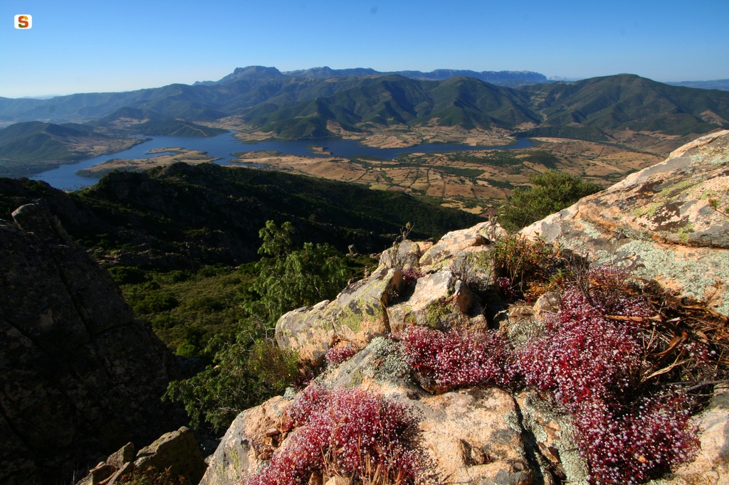
Prennache Viewpoint

Tres Serras
Old Cantoniera (roadside house) of Sant’Anna, end of SI Z09
Old Cantoniera (roadside house) of Sant’Anna, end of SI Z09
Old Cantoniera (roadside house) of Sant’Anna, start of SI Z10A
Old Cantoniera (roadside house) of Sant’Anna, start of SI Z10A