Track details
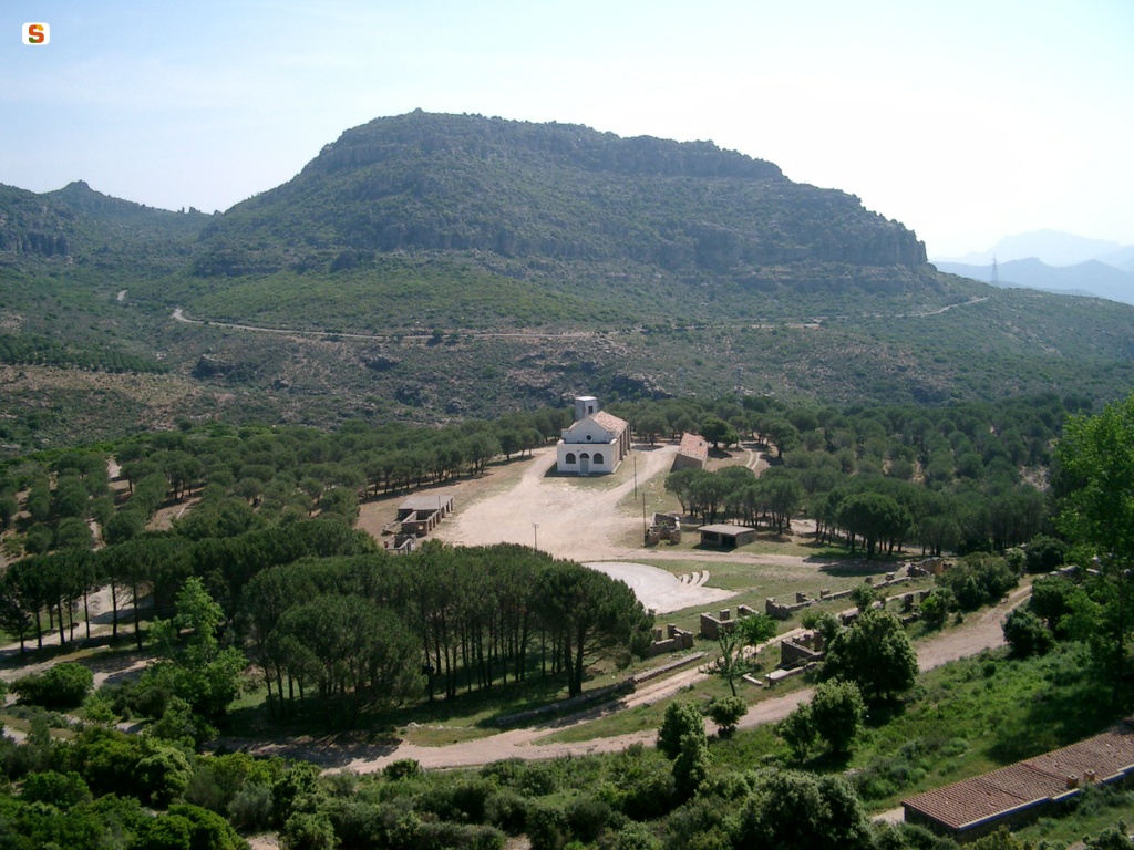
San’Antonio di Jerzu, start of SI Z22
San’Antonio di Jerzu, start of SI Z22
Jerzu, end point of SI Z21B
Jerzu, end point of SI Z21B
Sant'Antonio Jerzu (starting point C 204)
Sant'Antonio Jerzu (starting point C 204)
Europe,
Europe,
,
,
,
,
,
,
,
,
,
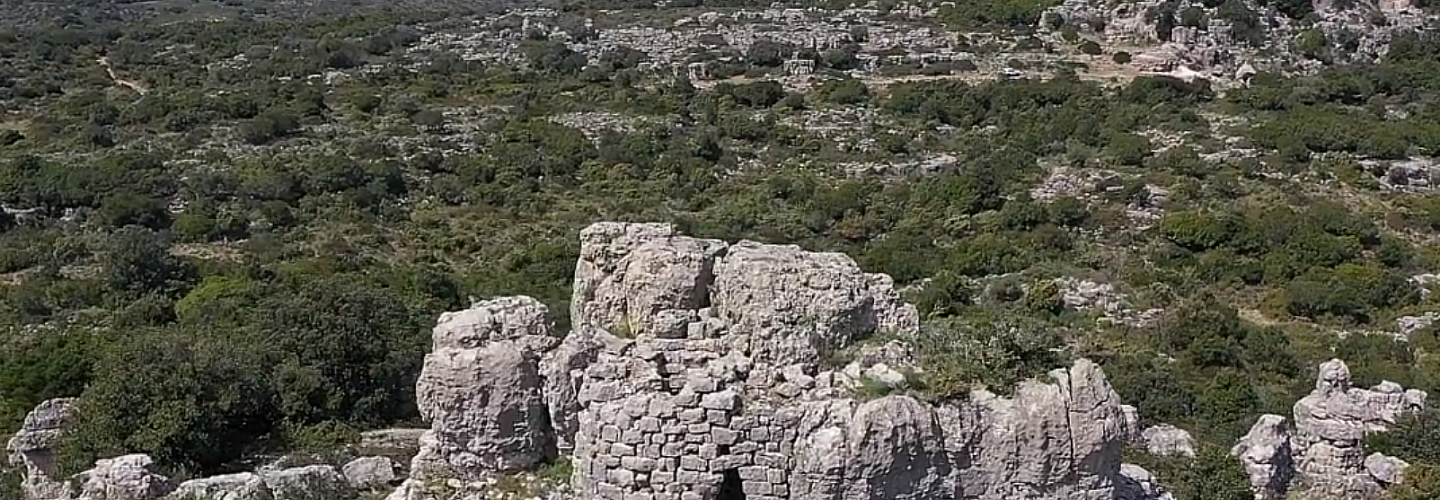
Nuraghe Gessittu
Is Tuvaras (junction with forest track)
Europe,
Europe,
,
,
,
,
,
,
,
,
,
Is Tuvaras (junction with forest track)
Europe,
,
,
,
,
,
Europe,
,
,
,
,
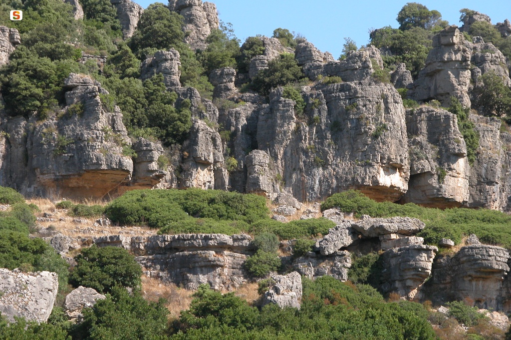
Scala Alistu
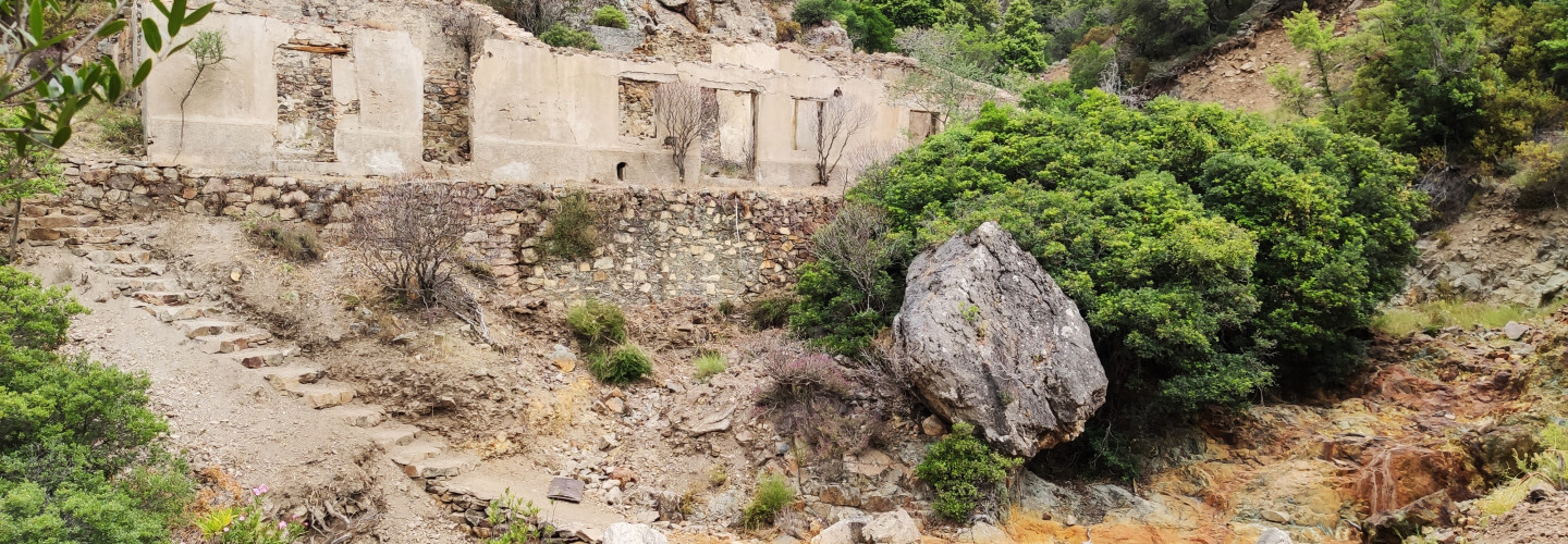
Bau arena(s) - Abandoned mines (TALENTINU Mines)
Europe,
,
,
,
,
,
Europe,
,
,
,
,
Bau arena(s) - Abandoned mines (TALENTINU Mines)
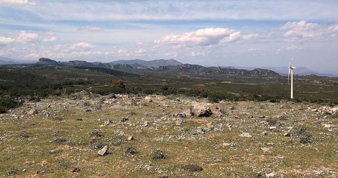
Nuraghe Cea Arcis (Wind Farm area)
Europe,
Europe,
,
,
,
,
,
,
,
,
,
Nuraghe Cea Arcis (Wind Farm area)
Europe,
Europe,
,
,
,
,
,
,
,
,
,
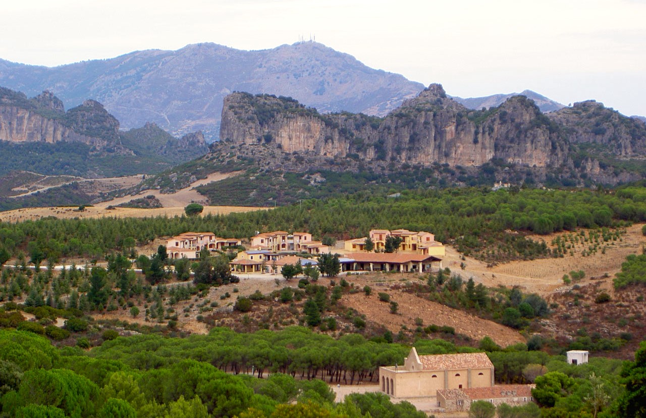
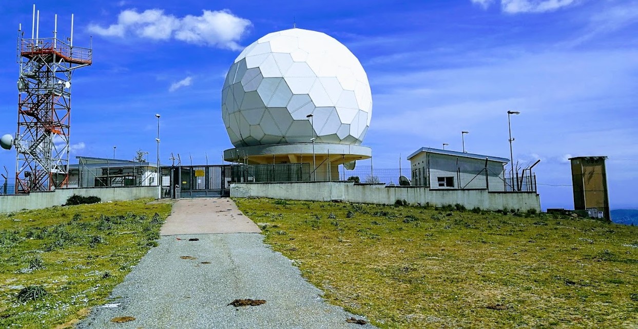
Monte Codi Radar Station
Mount Codi (SP 13 intersection, end of trail C-204)
Europe,
Europe,
,
,
,
,
,
,
,
,
,
Mount Codi (SP 13 intersection, end of trail C-204)