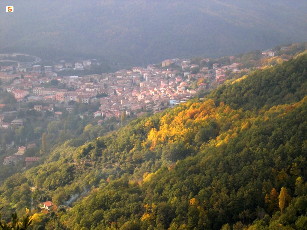
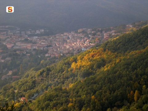
Track details
Distance
16.5km
Duration
4h 30min
Ascent
538m
Descent
538m
Starting altitude
887m
Arrival altitude
887m
Lowest point
877m
Highest point
1056m
Distance
16.5km
Duration
4h 30min
Ascent
538m
Descent
538m
Starting altitude
887m
Arrival altitude
887m
Lowest point
877m
Highest point
1056m