Dettagli Percorso
Abitato di Sorgono, partenza itinerario del GAL BMG
Europa,
Nuoro,
Sorgono,
Sardegna,
Mandrolisai,
Area T,
Europa
Abitato di Sorgono, partenza itinerario del GAL BMG
Sorgono, altopiano dei Nuraghes, arrivo itinerario del GAL BMG
Nuoro,
Sorgono,
Sardegna,
Europa,
Europa,
Mandrolisai,
Area T
Sorgono, altopiano dei Nuraghes, arrivo itinerario del GAL BMG
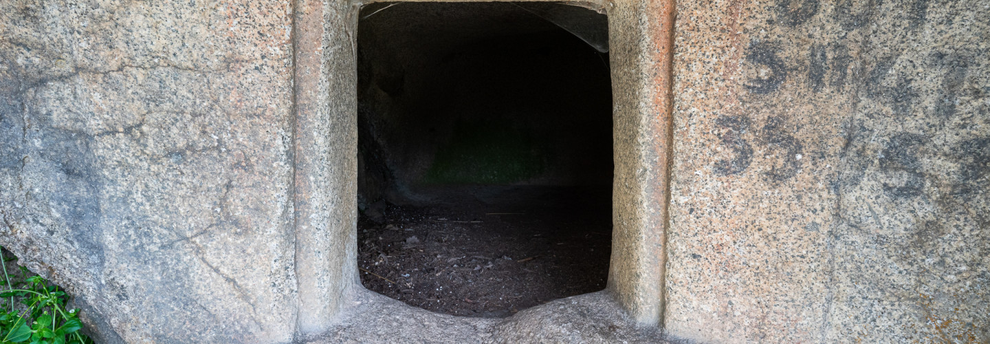
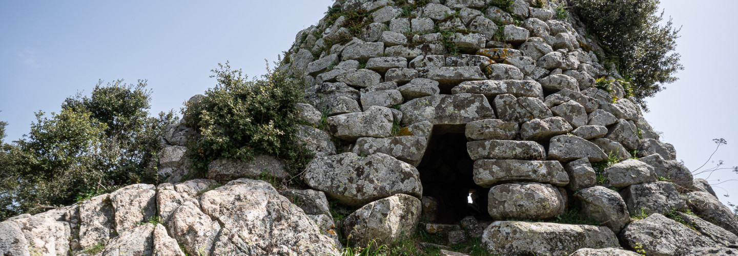
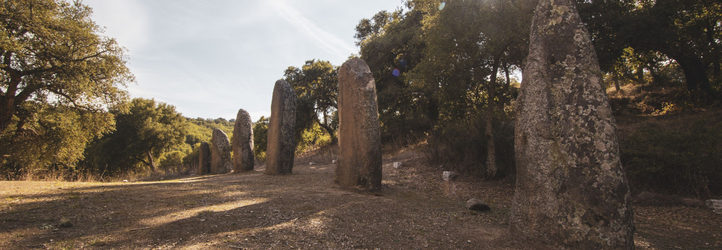
Sito Archeologico Biru ‘e Concas - Sorgono
Europa,
Sardegna,
Sorgono,
Mandrolisai,
Area T,
Nuoro,
Europa,
Sardegna,
Sorgono,
Mandrolisai,
Area T,
Nuoro
Sito Archeologico Biru ‘e Concas - Sorgono
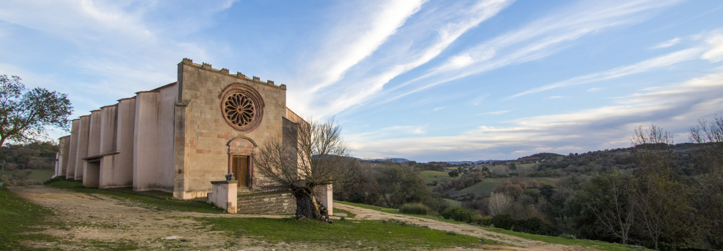
Santuario Campestre di San Mauro - Sorgono
Europa,
Europa,
Sardegna,
Sorgono,
Mandrolisai,
Area T,
Nuoro,
Sardegna,
Sorgono,
Mandrolisai,
Area T,
Nuoro
Santuario Campestre di San Mauro - Sorgono
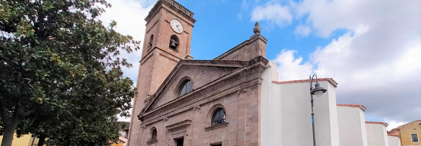
Chiesa Parrocchiale della Santissima Vergine Assunta - Sorgono
Europa,
Sardegna,
Sorgono,
Mandrolisai,
Area T,
Nuoro,
Europa,
Sardegna,
Sorgono,
Mandrolisai,
Area T,
Nuoro
Chiesa Parrocchiale della Santissima Vergine Assunta - Sorgono