Track details
Sa Furca 'e Sa Pruna Panoramic Viewpoint
Sa Furca 'e Sa Pruna Panoramic Viewpoint
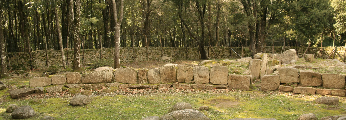
Nuraghe and Gennaccili Giant's tombs
Nuraghe and Gennaccili Giant's tombs
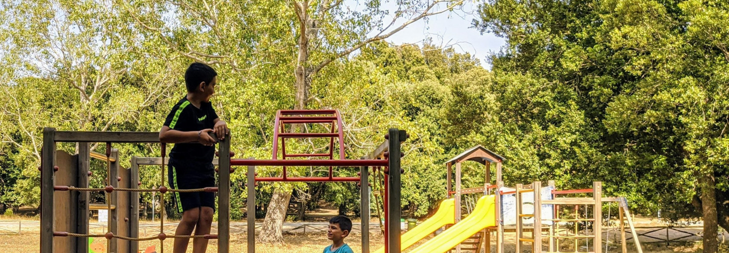
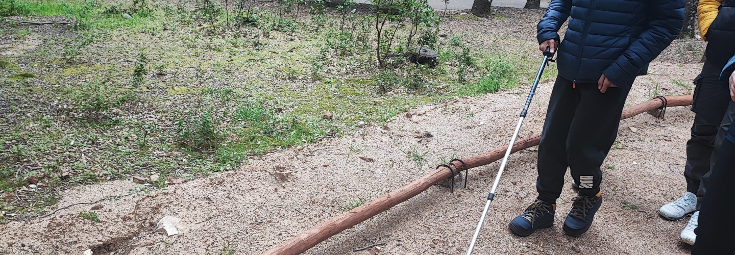
Playground along the Andala Segura accessible trail (Seleni)
Playground along the Andala Segura accessible trail (Seleni)
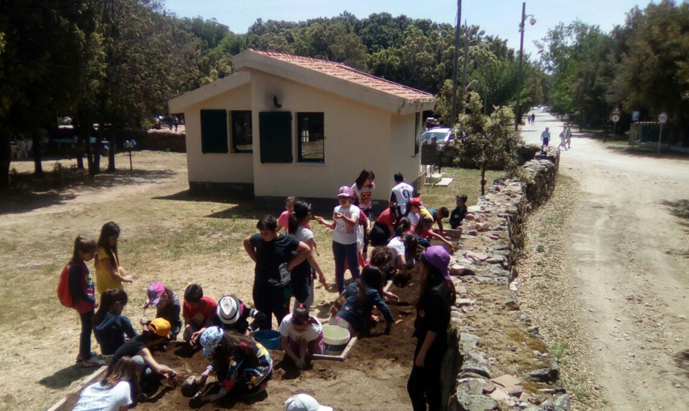
Seleni archeologic park (ingresso da SS 198)
Seleni archeologic park (ingresso da SS 198)
Seleni Risto-Bar with accessible bathroom
Seleni Risto-Bar with accessible bathroom
Villagrande Railway station (Starting point B 540)
,
,
Europe,
Europe,
,
,
,
,
,
,
,
Villagrande Railway station (Starting point B 540)
Genna 'e Contu (Starting Point T 120)
Europe,
Europe,
,
,
,
,
,
,
,
,
,
Genna 'e Contu (Starting Point T 120)
Sarcerei (Arrival Point T 120)
Sarcerei (Arrival Point T 120)
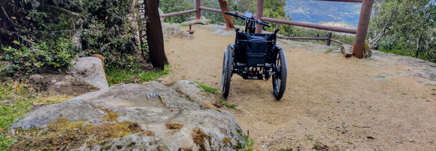
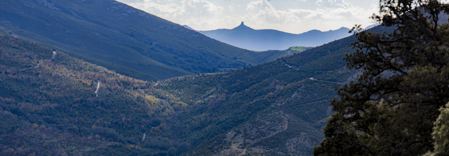
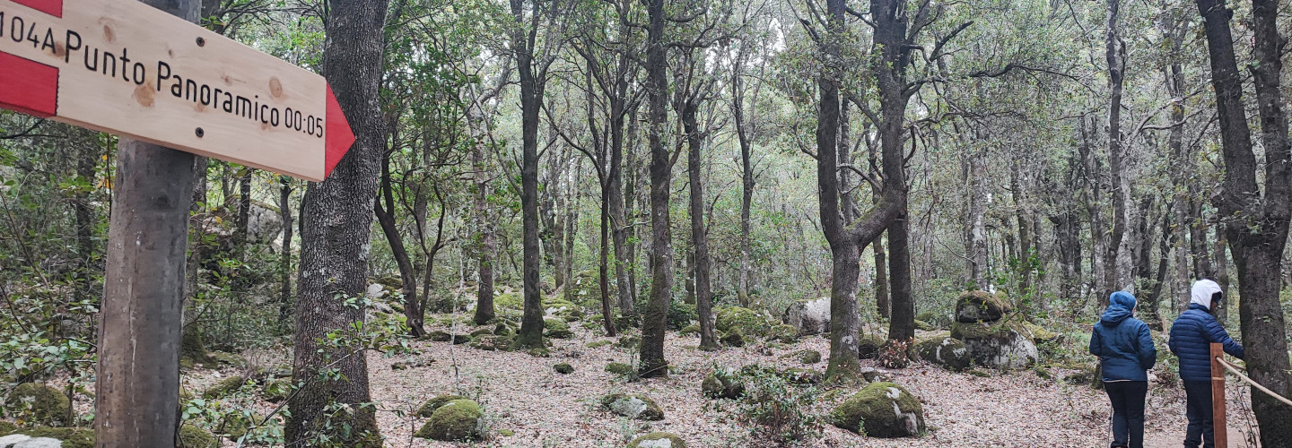
Branch for panoramic viewpoint
Branch for panoramic viewpoint
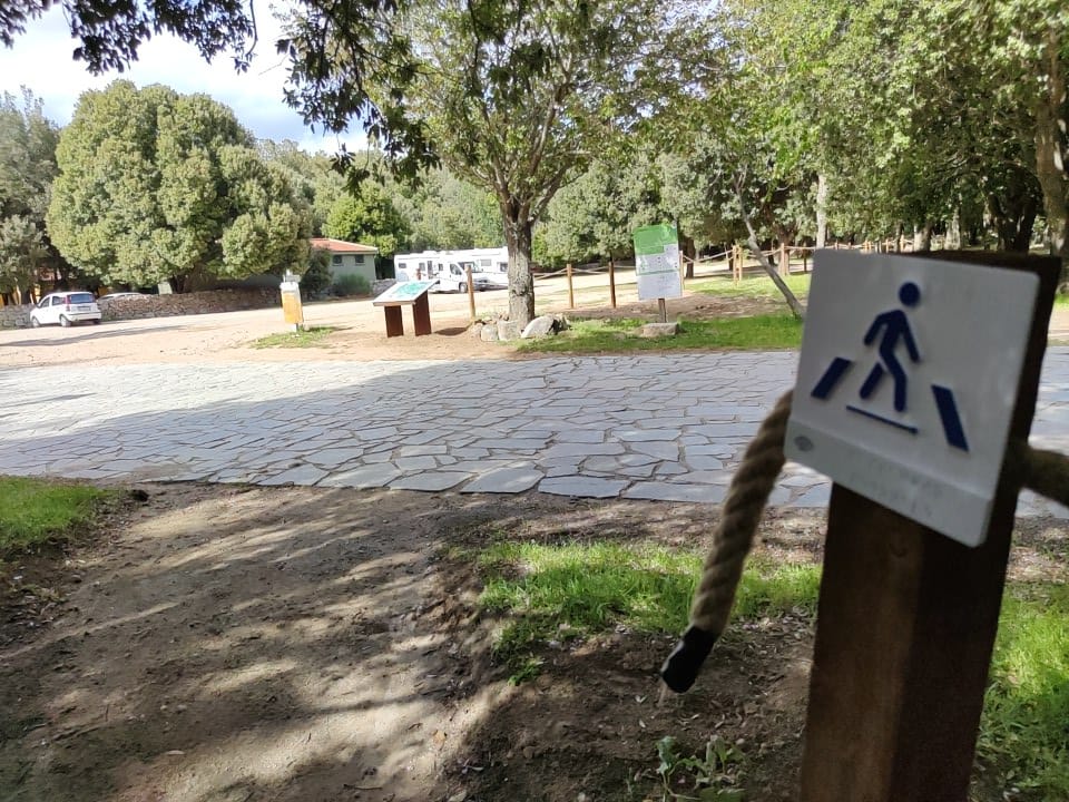
Parking, intersection, and starting point (southwest) of the Seleni loop trail
Europe,
,
,
,
,
,
,
,
,
,
,
Europe
Parking, intersection, and starting point (southwest) of the Seleni loop trail
Start of circular trail (north-west side, near Selene Archeo park)
Start of circular trail (north-west side, near Selene Archeo park)
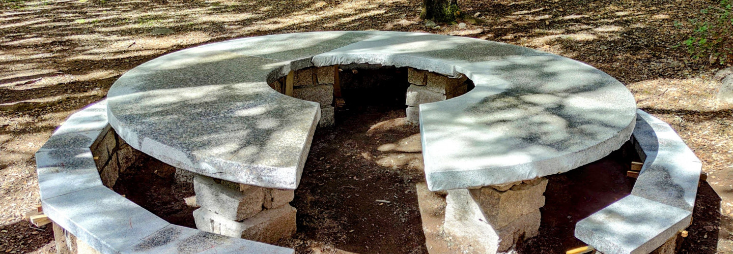
Equality Table
Sarcerei (roadman's house)
Sarcerei (roadman's house)

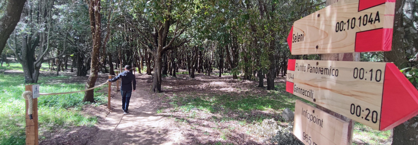
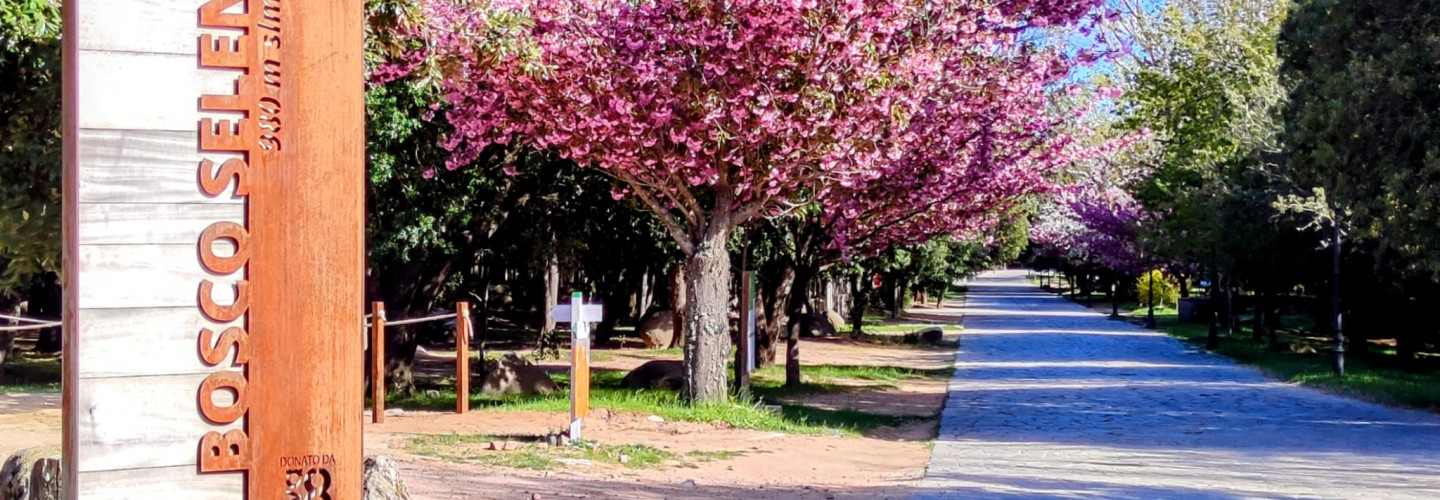
Junction 104-104A (Bosco Seleni info point)
Junction 104-104A (Bosco Seleni info point)