Track details
Su Stampu de Su Turrunu

Ilixi 'e Canali Rest Area
Ilixi 'e Canali Rest Area

Funtana de Pedassu (end point of Trail 205)
Funtana de Pedassu (end point of Trail 205)
Addolì Junction

Fork-branch along Trail 204
Fork-branch along Trail 204

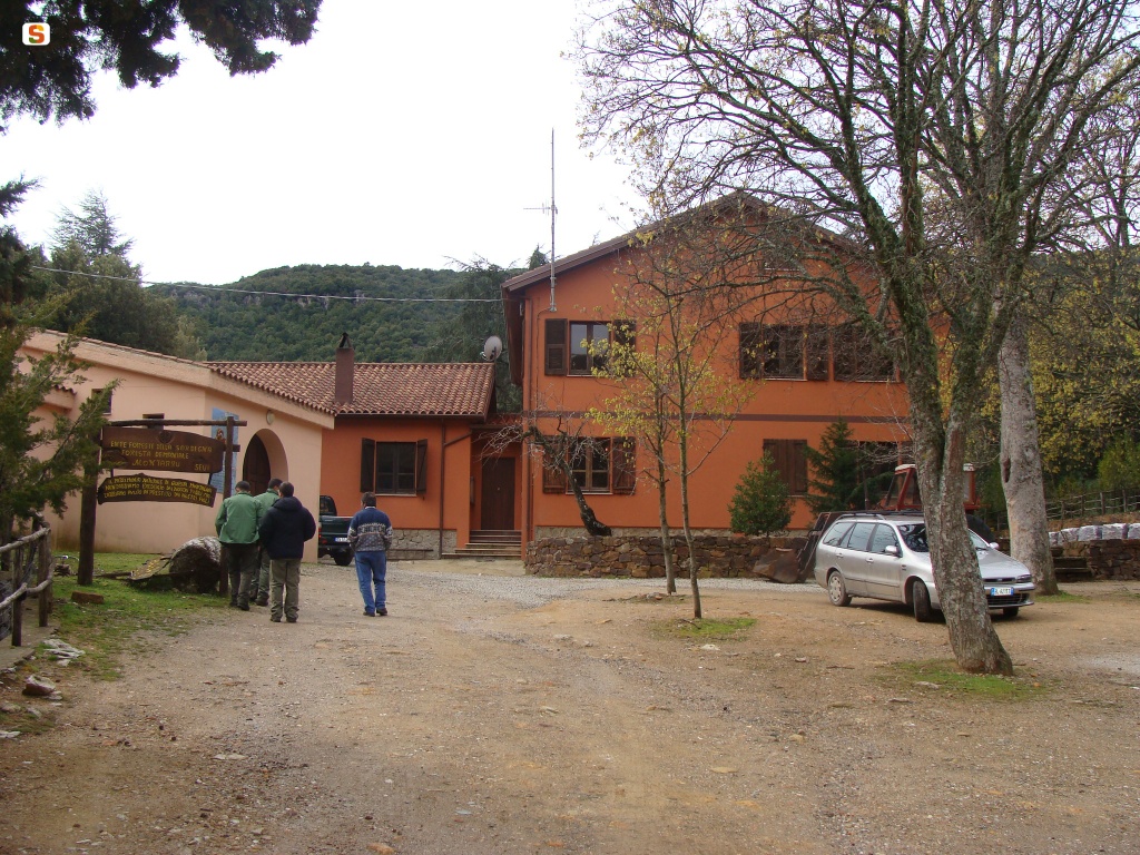
Montarbu Forest Rangers Station, end point of SI Z19
Montarbu Forest Rangers Station, end point of SI Z19
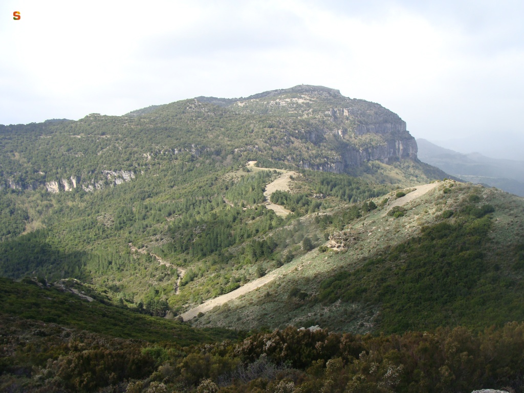
Gadoni, Foresta Corongia, end point of the GAL BMG route
Gadoni, Foresta Corongia, end point of the GAL BMG route
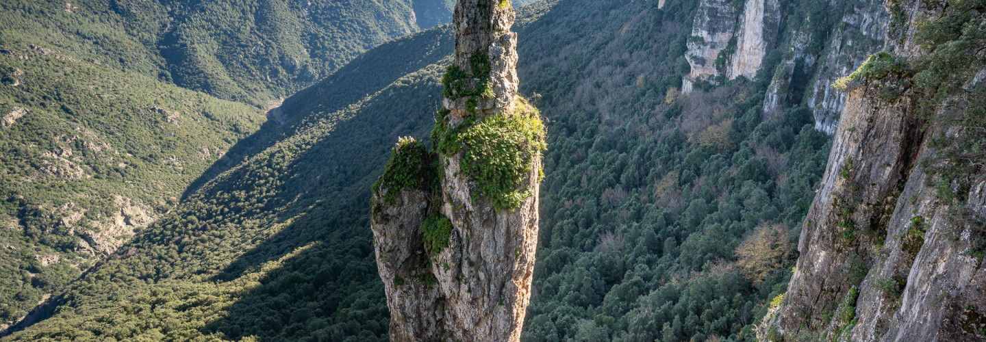
Montarbu Forest Rangers Station, start point of SI Z20
Montarbu Forest Rangers Station, start point of SI Z20
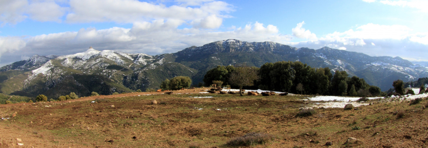
Start of connecting Trail 112-113
Start of connecting Trail 112-113

Laconi, end point of Trail T-460
Laconi, end point of Trail T-460
Seulo - end point of Trail 201
Seulo - end point of Trail 201

End of Trail T-112 on nearby Trail T-113
End of Trail T-112 on nearby Trail T-113