
Dettagli Percorso
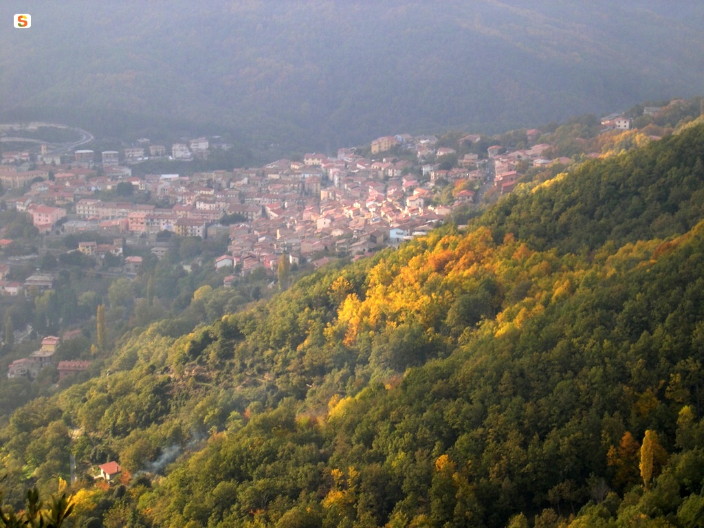
Centro abitato Tonara (Punto di partenza T-502)
Nuoro,
Sardegna,
Tonara,
Mandrolisai,
Area T,
Europa
Centro abitato Tonara (Punto di partenza T-502)
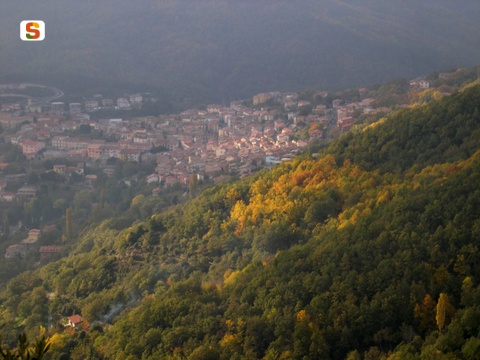
Tonara (punto di partenza T-501)
Nuoro,
Sardegna,
Tonara,
Mandrolisai,
Area T,
Europa,
Europa
Tonara (punto di partenza T-501)
Tonara town center, GAL BMG itinerary starting point
Europa,
Nuoro,
Sardegna,
Tonara,
Mandrolisai,
Area T,
Europa
Tonara town center, GAL BMG itinerary starting point
Centro di Tonara, arrivo percorso GAL BMG
Nuoro,
Sardegna,
Europa,
Tonara,
Area T,
Mandrolisai
Centro di Tonara, arrivo percorso GAL BMG

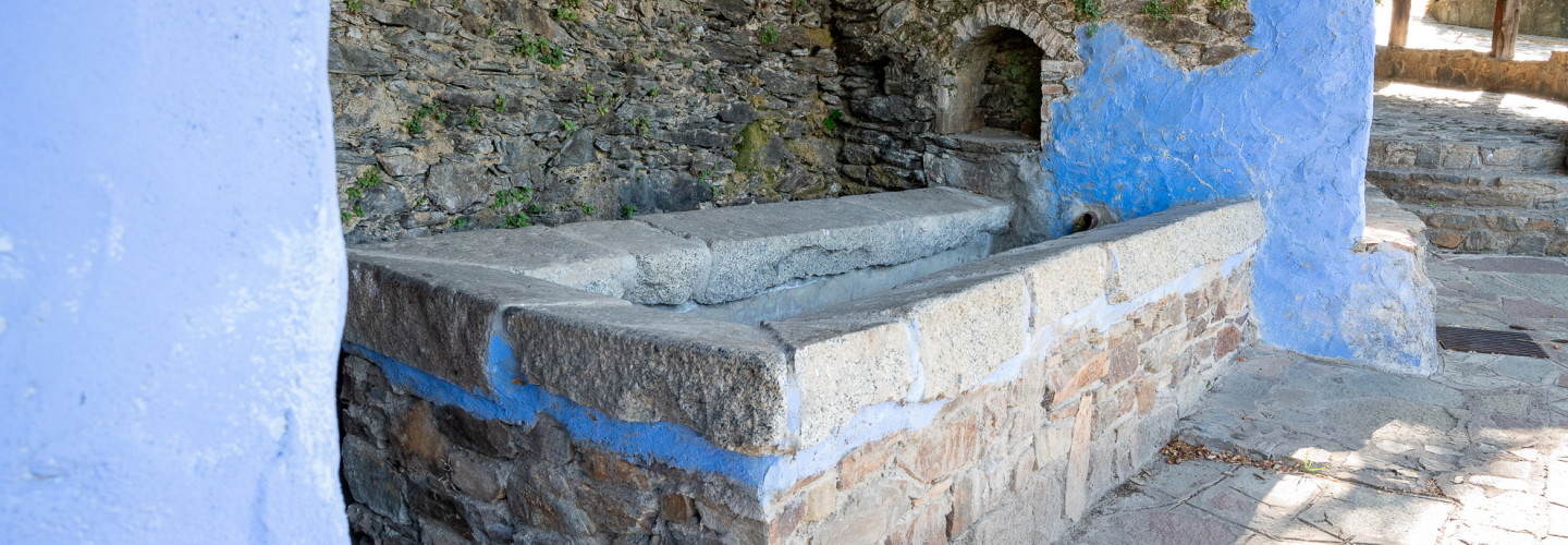
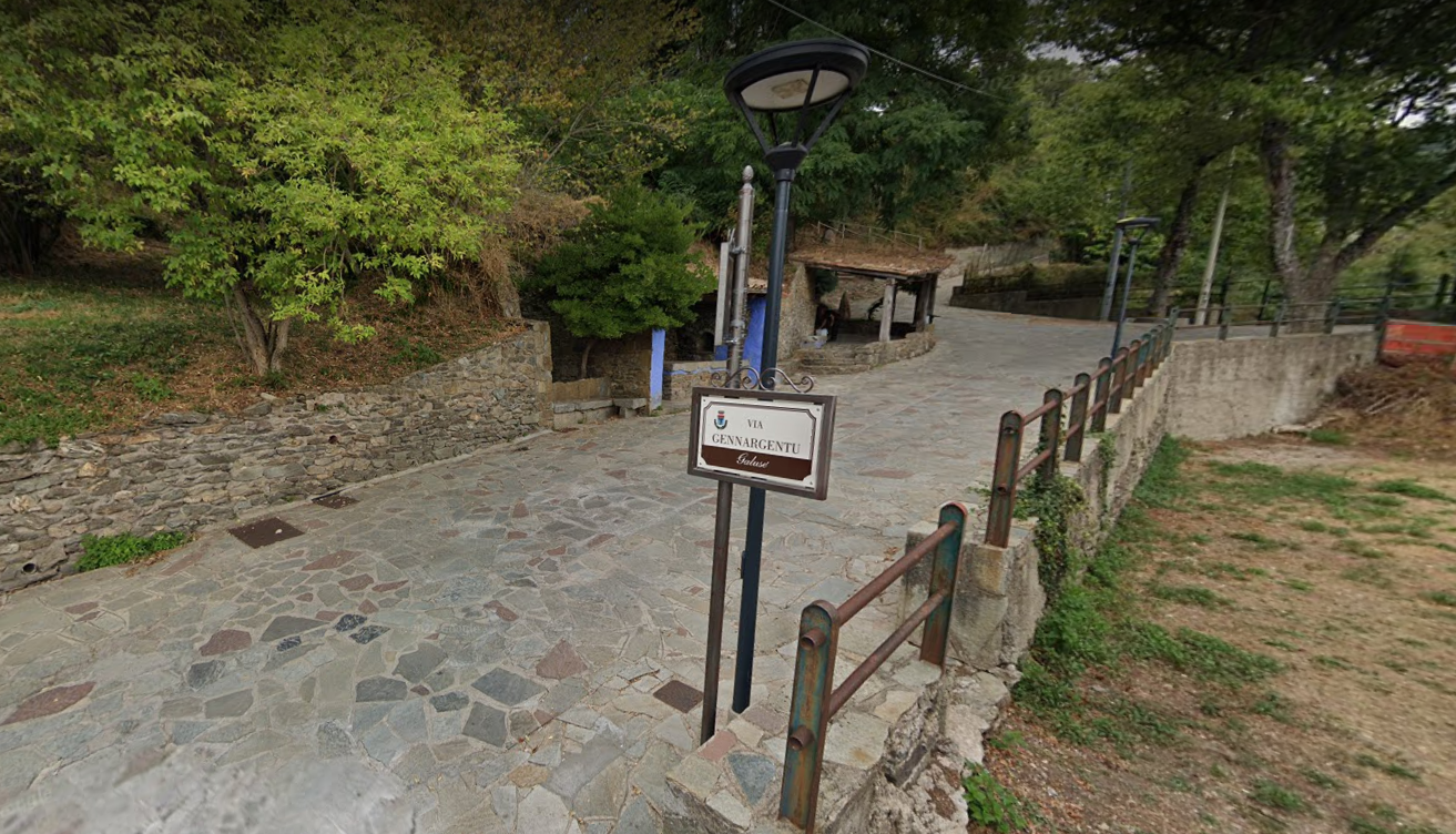
Sorgente Galusè, Tonara, Via Gennargentu
Nuoro,
Sardegna,
Tonara,
Area T,
Mandrolisai,
Europa
Sorgente Galusè, Tonara, Via Gennargentu
Europa,
Nuoro,
Sardegna,
Tonara,
Area T,
Mandrolisai
Funtana e s'abe
Nuoro,
Sardegna,
Tonara,
Area T,
Mandrolisai,
Europa,
Europa
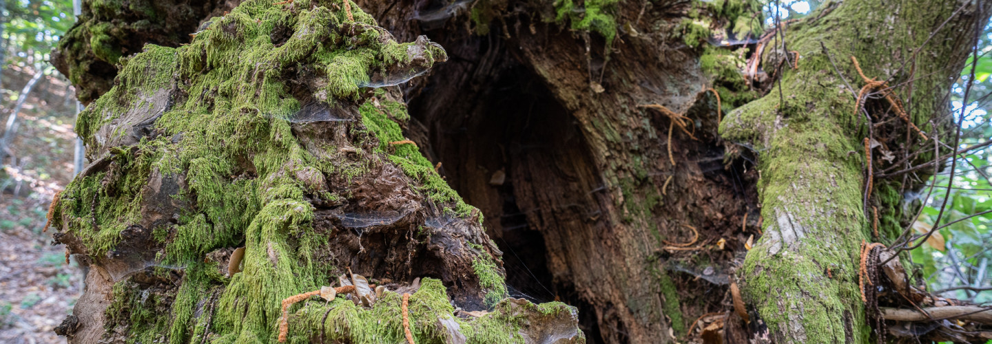
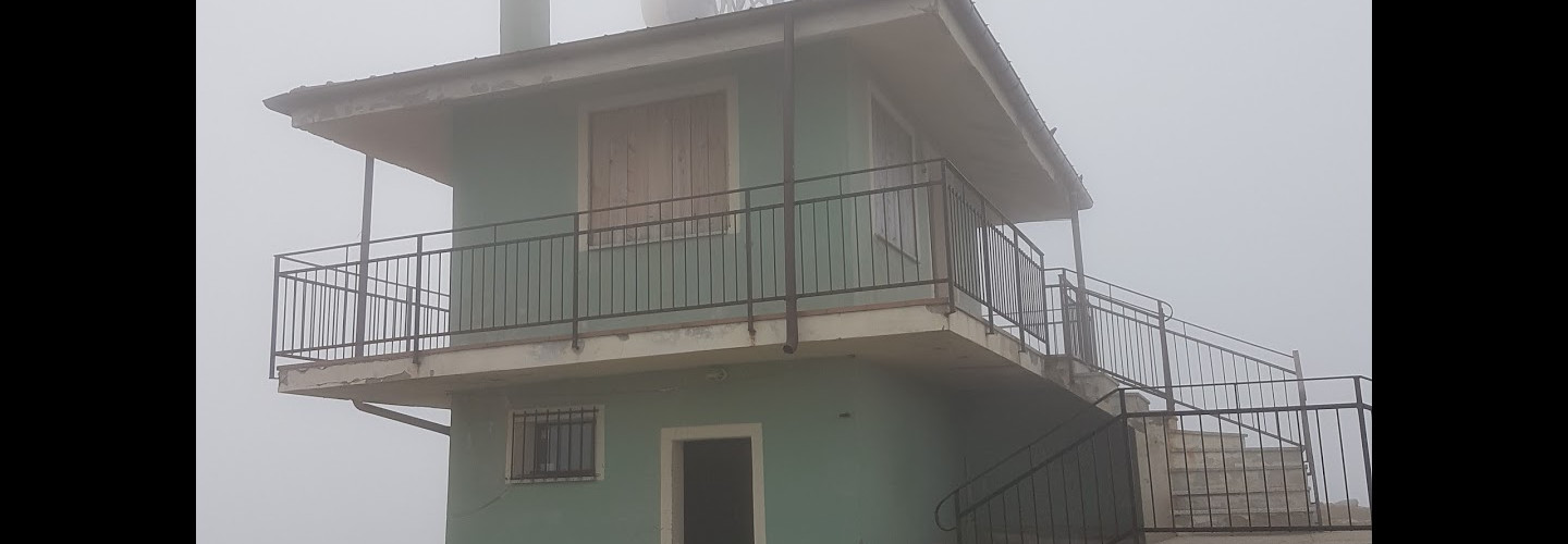
Vedetta Muggianeddu
Bacu Perdas Artas (Punto di partenza T-501A)
Europa,
Nuoro,
Sardegna,
Tonara,
Mandrolisai,
Area T,
Europa
Bacu Perdas Artas (Punto di partenza T-501A)
Sella Ghenna Flores (Punto di arrivo T-501A)
Europa,
Europa,
Nuoro,
Sardegna,
Mandrolisai,
Area T,
Tonara
Sella Ghenna Flores (Punto di arrivo T-501A)
Passo Perdu Abes (punto di arrivo T-501)
Nuoro,
Sardegna,
Tonara,
Mandrolisai,
Area T,
Europa
Passo Perdu Abes (punto di arrivo T-501)
Bauerì (punto di arrivo T-502)
Nuoro,
Sardegna,
Tonara,
Mandrolisai,
Area T,
Europa,
Europa
Bauerì (punto di arrivo T-502)