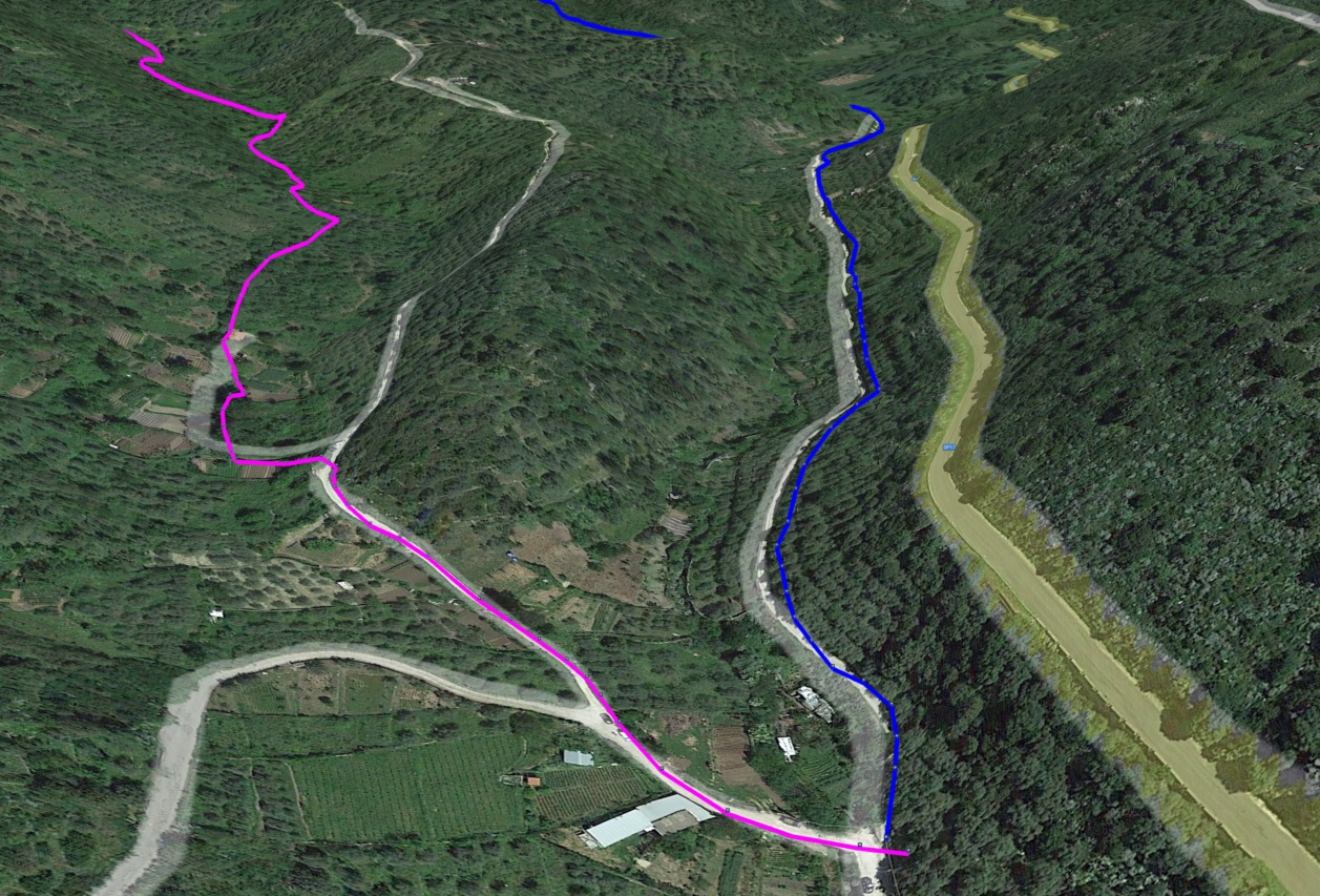
Track details
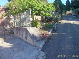
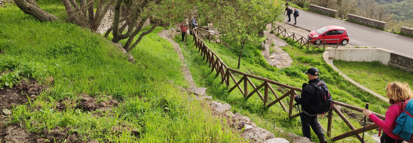
Cumbentu - start point of Trail G 641
Cumbentu - start point of Trail G 641
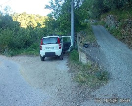
BADU locality - start point of Trails G 640, 642
BADU locality - start point of Trails G 640, 642
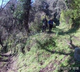
Nieddio locality
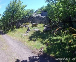
Cantaru de Murrone
Tolovo - start point of Trail G-640A
Tolovo - start point of Trail G-640A
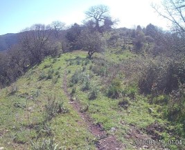
Punta sa Campana - end point of Trail G-640A
Punta sa Campana - end point of Trail G-640A
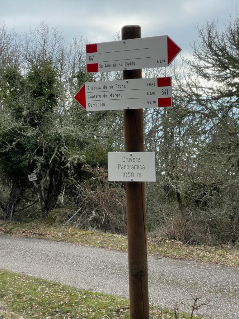
Oruvere - end point of Trail 643B
Oruvere - end point of Trail 643B
Abba ’ia - end point of Trail G 642
Abba ’ia - end point of Trail G 642
Su Adu ’e su Caddu (junction with Trails G-640, 641 and 643 A)
Su Adu ’e su Caddu (junction with Trails G-640, 641 and 643 A)
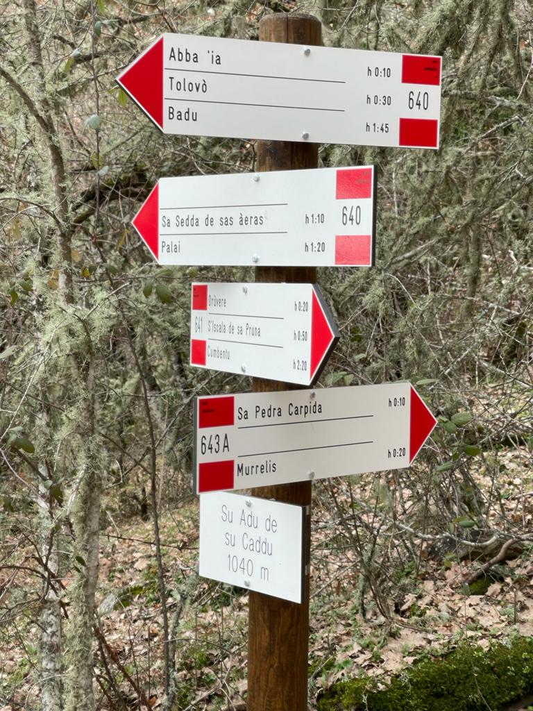
Sa Perda Carpida (G 643A)
Sa Perda Carpida (G 643A)
Murrelis - start point of Trail 643A, junction with Trail G 643
Murrelis - start point of Trail 643A, junction with Trail G 643
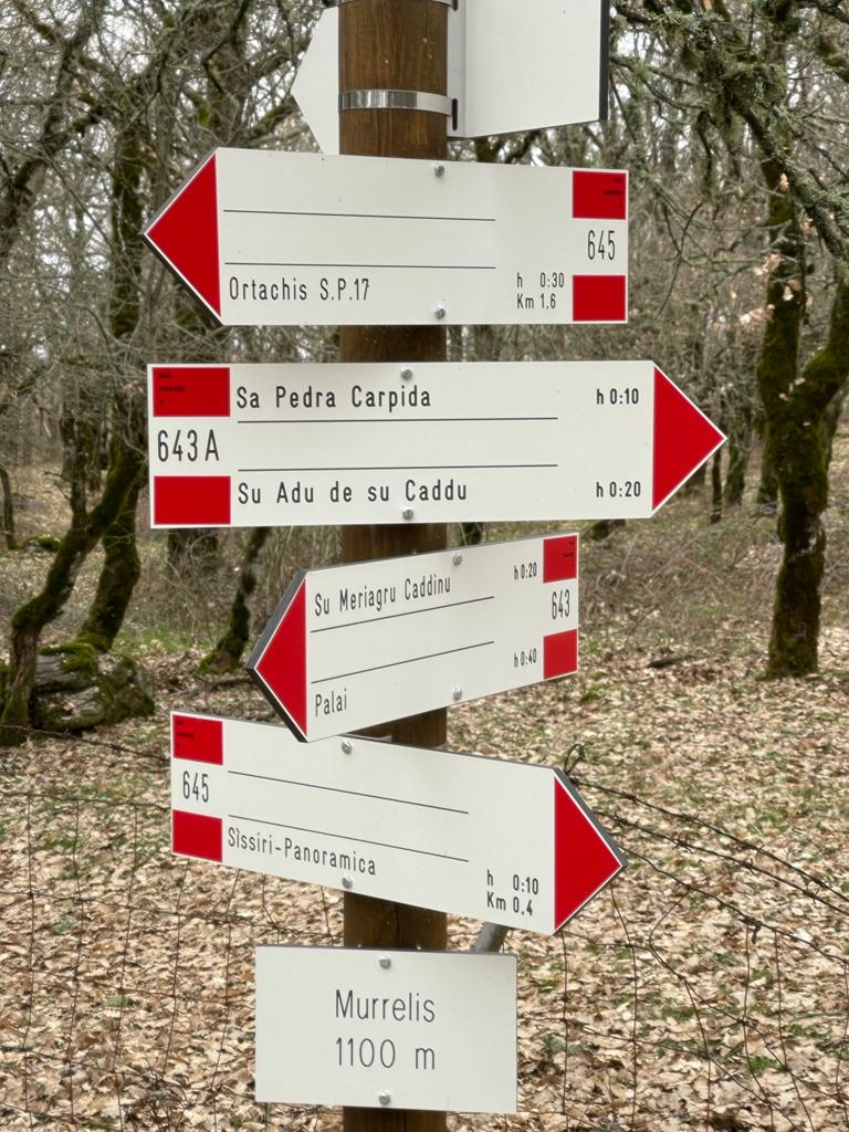
Sissiri - end point of Trail G 645
Sissiri - end point of Trail G 645
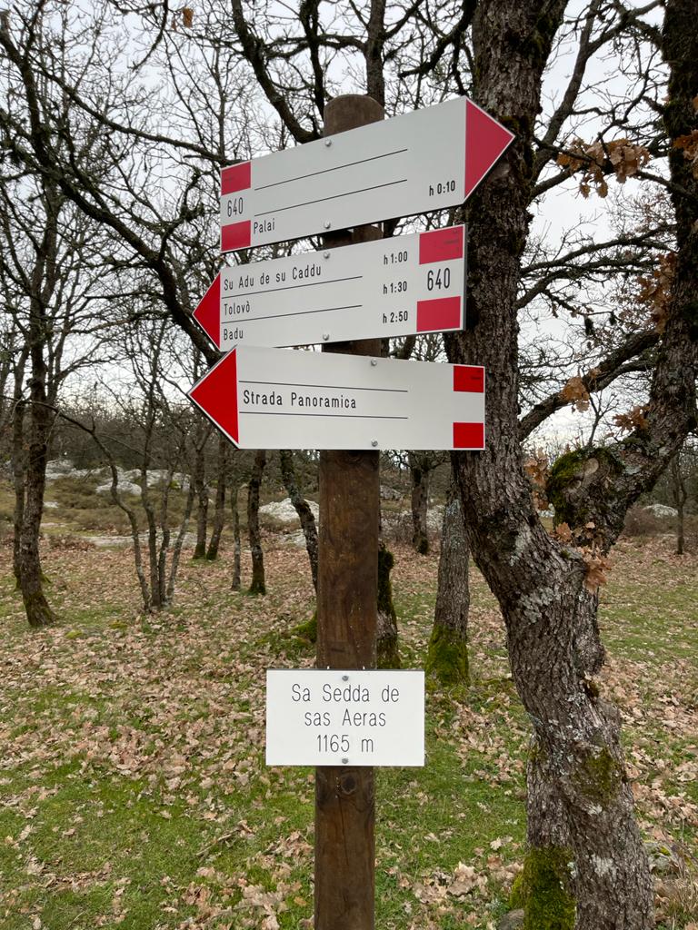
Sedda ’e sas Aeras (Trail G 640)
Sedda ’e sas Aeras (Trail G 640)
Punta Palai - End point of Trail G 640 - Start point of Trail G 643
Punta Palai - End point of Trail G 640 - Start point of Trail G 643