
Track details
Distance
9.6km
Duration
3h 45min
Ascent
837m
Descent
837m
Starting altitude
706m
Arrival altitude
706m
Lowest point
539m
Highest point
998m
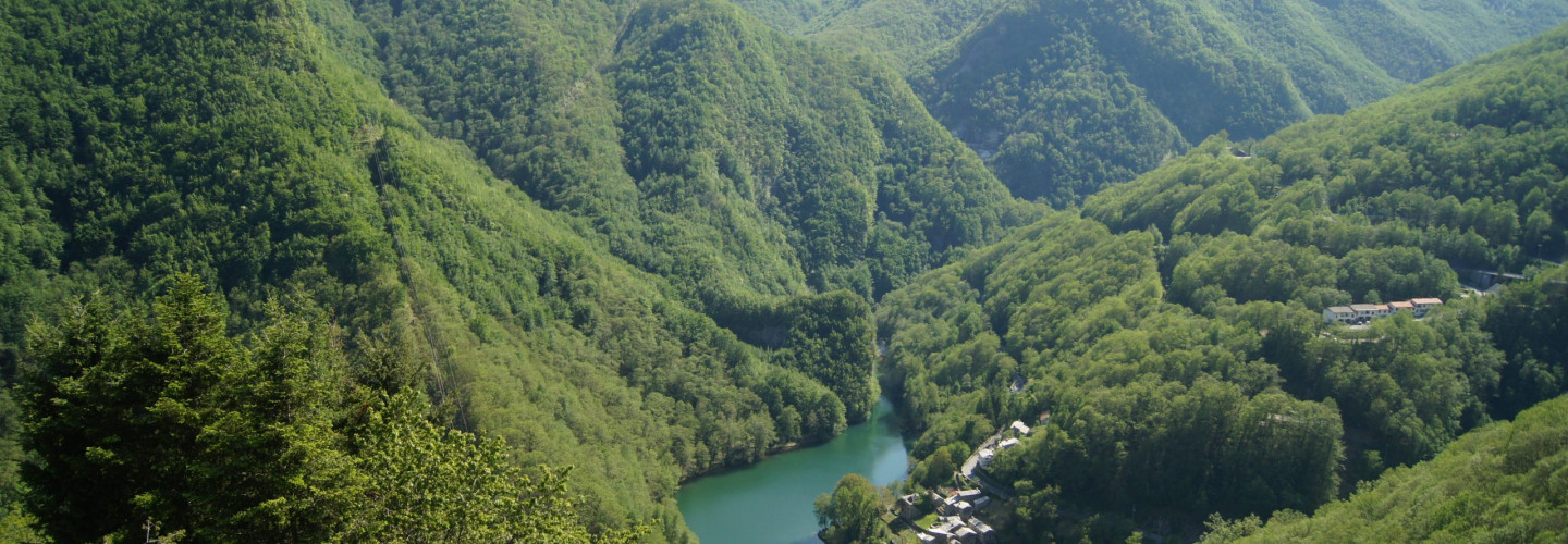
Isola Santa
Already on 1260 somebody wrote about a “Hospitale” in Isola Santa, that used to assist and give hospitality to those wayfarer who went through the Apuan Alps to reach the Versilia Coast or the Garfagnana in the opposite sense. Along this long and difficult journey Isola Santa was a fixed meeting point, was therefore probably fortified and had a watch tower (lost with centuries, but the street “via della Torre” still remains). Despite its strategic position, the little village was isolated and very difficult to reach due to the bad conditions of the communication routes, and its economy was very poor and simple. This isolation has been preserved for centuries, and ended only with the construction of the road and gallery of Cipollaio at the beginning of the 20th century. After this, in 1949 the construction of the dam changed radically the scene of this valley: the lake caused some troubles to the stability of the village, and the inhabitants of Isola Santa slowly abandoned their houses. The typical houses that we offer to our guests are part of the project of global restoration that has the intent of bringing this little medieval village to life again, to combine its antique charm with the wonders of the natural environment.
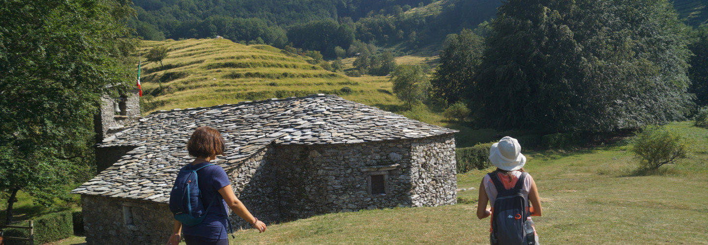
Puntato pasture
Located between 1000 and 1100 meters above sea level in a place where paths 11 from Fociomboli and 128 from Tre Fiumi to the Rifugio Del Freo converge, this basin is surrounded by the Corchia, Freddone Pania della Croce and Pizzo delle Saette mountains, which from here it appears in its most imposing guise.
In past centuries, and up to the 80s, it was used by the shepherds of the Terrinca community, as evidenced by the old farmhouses and ruins of the area and also a church that stands in the center of the mountain pasture. Some farmhouses have been renovated and used for the reception of hikers and day trippers with beds and kitchen: the “Il Robbio” hut which is a small farm, the “Ciampi” hut and the “La Quiete” refuge.
The church of Puntato is dedicated to the SS. Trinity and dates back to 1679, nearby there was an older majesty built for his devotion by Francesco Bacchelli with a marble icon dedicated to the Madonna of the Rosary with the Child and St. John the Baptist. After the dismantling of the majesty, the icon was walled up on the church wall and subsequently stolen in 1973.
Oratory of S. Trinità al Puntato
Each village in the upper Versilia has at least one Alpe, where the inhabitants with their families and their herds moved from spring to autumn to cultivate it. Terrinca has several among which one stands out both for the vastness of the “Logos”, the woods, the meadows and the significant number; of the huts, both for the presence of the church, the fulcrum of religiosity and the real center of the village.
Notwithstanding the principle that required the construction of houses on land marginal to agriculture, the Oratory was built in the flat and more fertile area, removing it from crops, at the intersection of the main mule tracks, almost in a central position on the mountain pasture.
Already before 1657, at the crossroads formed by the road to Puntato, by the local road of the Carpini hills, by the via di val terra that leads to the Holy Island, by the road of the Barca that leads to col di Favilla, it had been raised, out of devotion , a shrine by Francesco Bacchelli, whose marble bas-relief depicted the Madonna del Rosario, the Child and St. John the Baptist. The aedicule, still visible in the 1810 terrilogio, was demolished in the twentieth century and his Madonna, which remained walled up on the facade of the church sacristy up to the present day, after 1973, like many others, was stolen.
Precisely at this point, as the squat plaque inserted above the central door recalls, the oratory of the S.S. Trinity in 1679
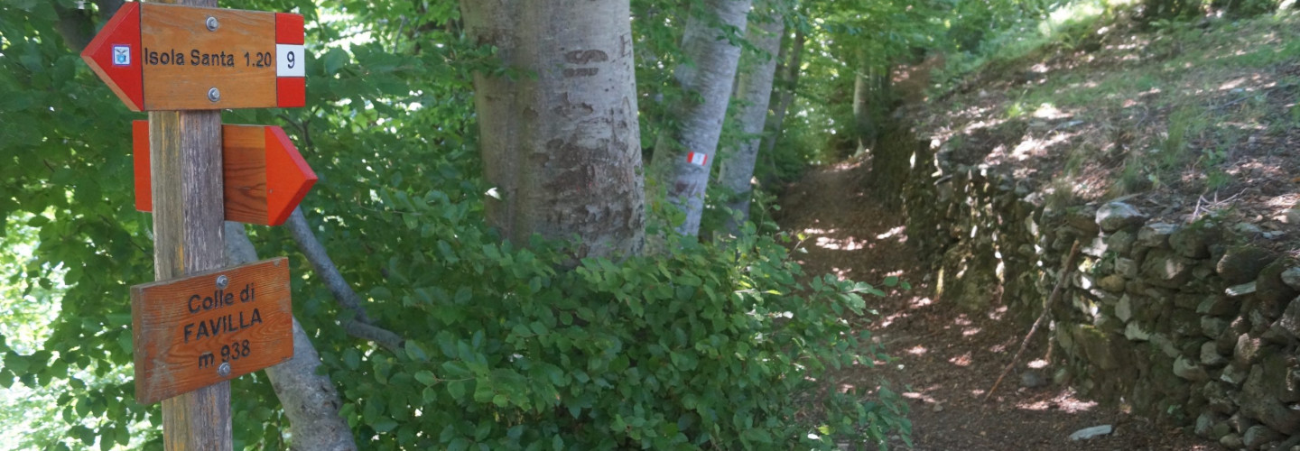
Col di Favilla
The perched village owes its name to the sparks produced by charcoal burners, a widespread activity in these areas. In ancient times this was an alpine pasture area (such as the opposite “Puntato”) until the early 1600s. The shepherds settled there definitively around 1880: first building so-called “alla buona” houses and then gradually making them larger and solid using local stone for the walls and schist for the roofs. The whole village life took place around the church of Sant’Anna (dating back to 1640) which welcomed into its arms new people captured by the convenient sale that settled up there, in a strategic position between the Garfagnana and Versilia with numerous paths that allowed achieve it. Permanent life lasted there until the 1960s thanks also to the commitment of the last parish priest (Don Cosimo, to whom a plaque on the facade of the church is dedicated) around which the remaining community was cemented, in the process of being displaced.
An unfortunate episode occurred in 1977 when the whole country was devastated by episodes of paramilitary simulations. Since then, however, the heir community of Col di Favilla has become even more united, albeit displaced in different places further down the valley, and usually recompose with the heirs every year for July 26 to celebrate the day of the patron Saint Anna.