Isola Santa
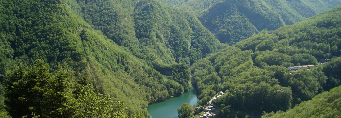
Already on 1260 somebody wrote about a “Hospitale” in Isola Santa, that used to assist and give hospitality to those wayfarer who went through the Apuan Alps to reach the Versilia Coast or the Garfagnana in the opposite sense. Along this long and difficult journey Isola Santa was a fixed meeting point, was therefore probably fortified and had a watch tower (lost with centuries, but the street “via della Torre” still remains). Despite its strategic position, the little village was isolated and very difficult to reach due to the bad conditions of the communication routes, and its economy was very poor and simple. This isolation has been preserved for centuries, and ended only with the construction of the road and gallery of Cipollaio at the beginning of the 20th century. After this, in 1949 the construction of the dam changed radically the scene of this valley: the lake caused some troubles to the stability of the village, and the inhabitants of Isola Santa slowly abandoned their houses. The typical houses that we offer to our guests are part of the project of global restoration that has the intent of bringing this little medieval village to life again, to combine its antique charm with the wonders of the natural environment.
