Piazza del Campo
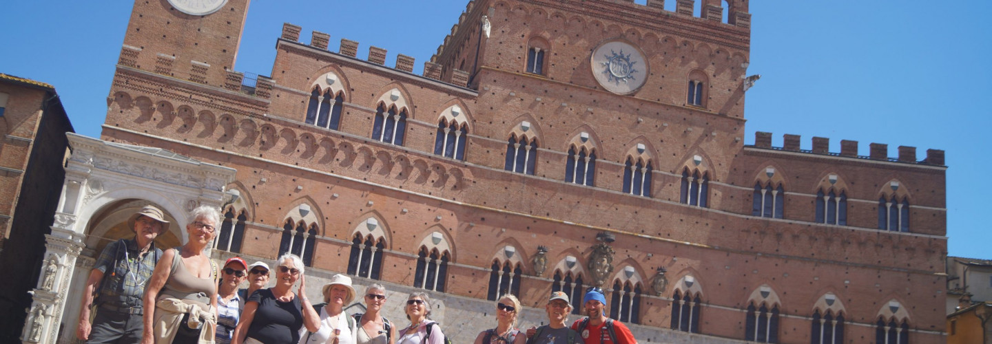
Unique for its particular and original shell shape, it is renowned all over the world for its beauty and architectural integrity, as well as for being the place where the Palio di Siena takes place twice a year. For an ancient convention, the square and the Palazzo Pubblico do not belong to any district. The space that would become the present square was, at the origins of Siena, a land reclaimed to allow the outflow of rainwater, as a semicircular head of the Montone valley, between the Santa Maria hill and the ridge that goes towards Porta Romana. The nucleus of the city in formation was located higher up, in the Castelvecchio area and the future “Campo” was a space for markets, just lateral to the main communication roads that passed through the city and located exactly at a crossroads. Here the routes to Rome to the south-east still meet today, to the sea to the southwest and to Florence to the north. The history of the square is strongly intertwined with that of the construction of the Palazzo Comunale, or Palazzo Pubblico, which overlooks it