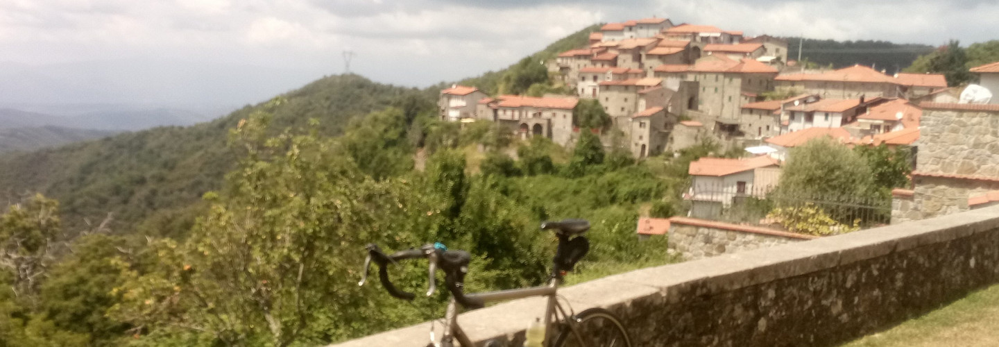
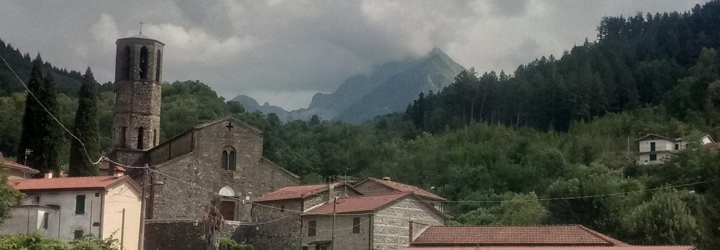
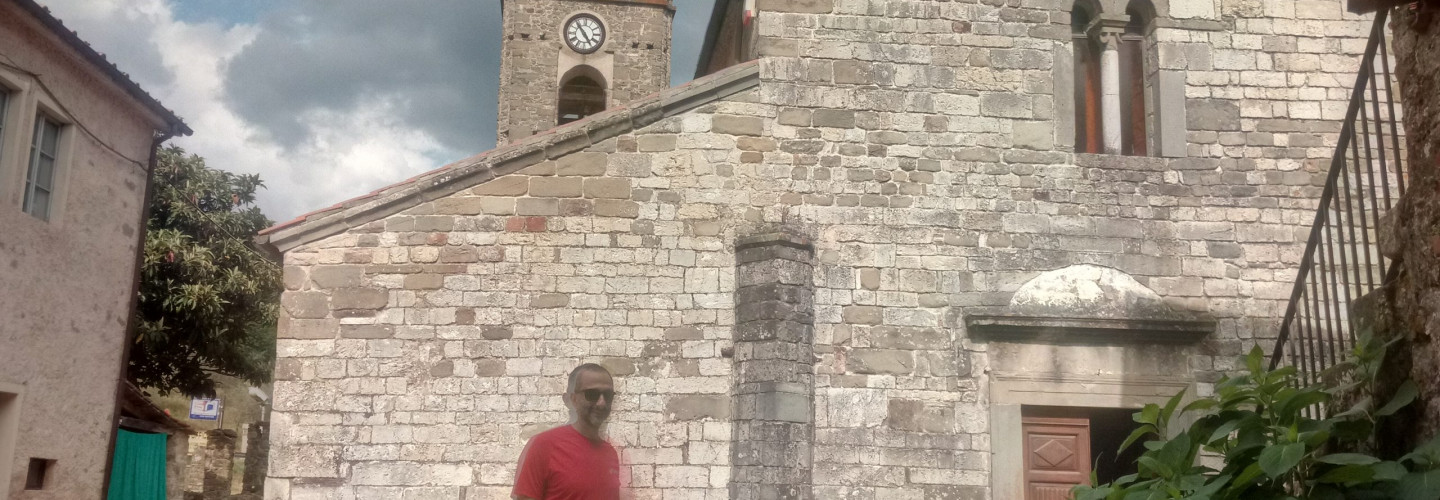
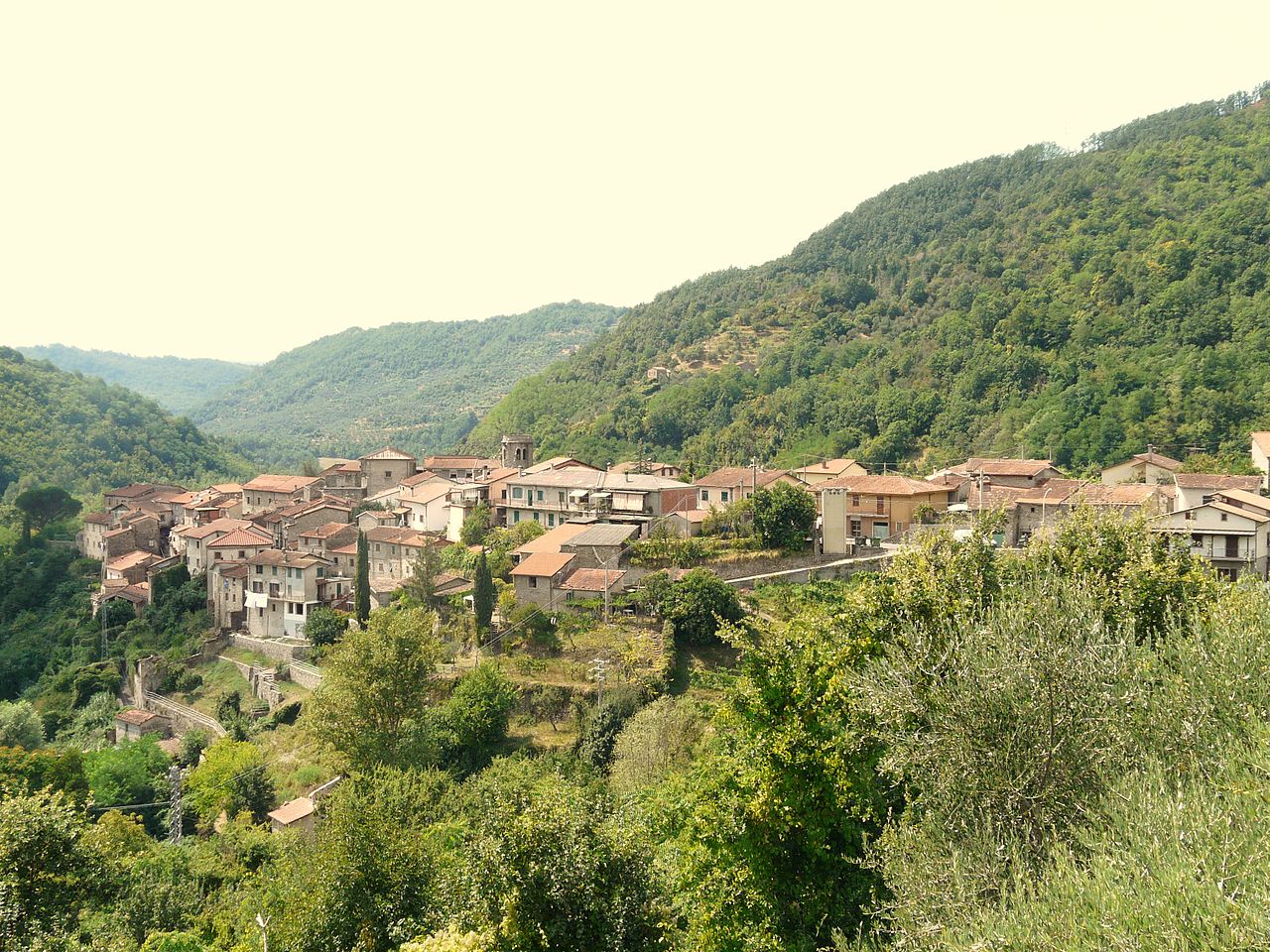
webmapp map

Track details

Distance

35.4km

Duration

10h 15min

Ascent

1501m

Descent

1624m

Starting altitude

382m

Arrival altitude

259m

Lowest point

161m

Highest point

790m

Ugliancaldo

The name probably derives from the Roman nobleman Ulius.
It was a thriving medieval craft center and suffered considerable damage in the disastrous earthquake that hit the area on 11 April 1837.
This earthquake caused the disappearance of the underlying center of Uglianfreddo (not to be confused with Uglianfreddo ai Cerri in the municipality of Fivizzano).
Today some houses have been rebuilt and are used for holidays while many are in ruins.
There is a 15th century church dedicated to Saint Andrea and an 18th century oratory dedicated to San Rocco.
Paths 181 from Pieve San Lorenzo and 176 from Equi Terme merge here
In addition, a marble dirt road leads to the quarries of Solco di Equi.

Minucciano

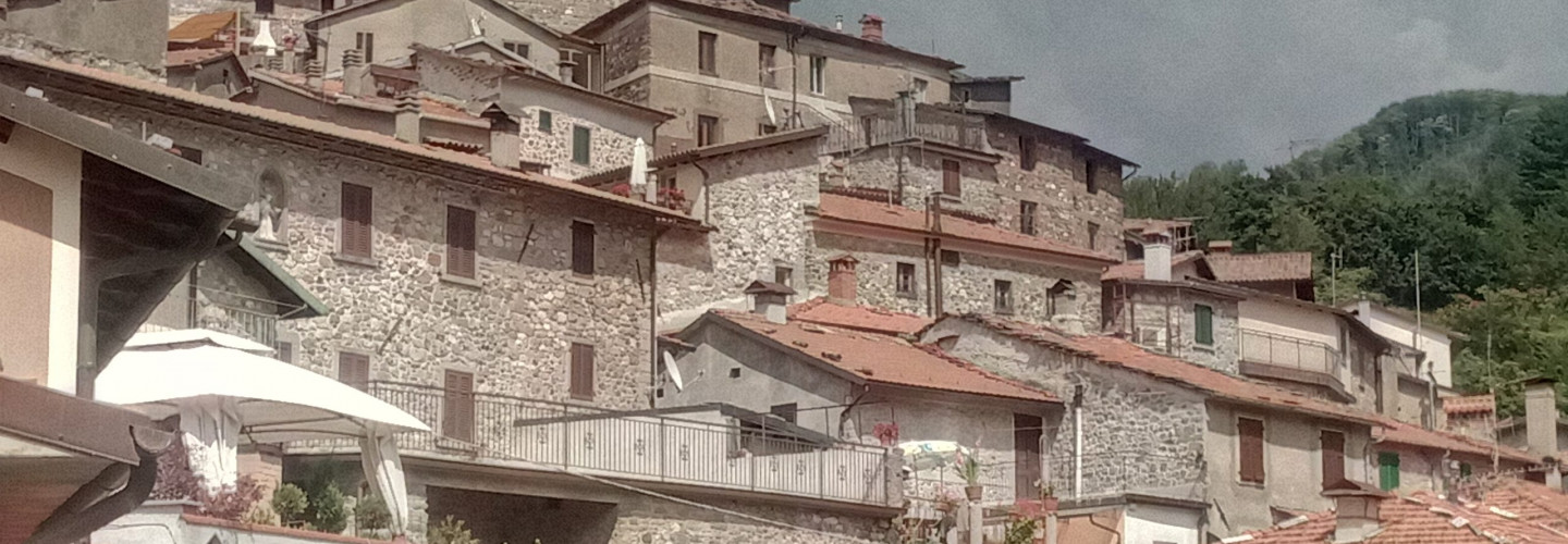
It was a fief of the Malaspina family from 875 and sold to Count Gerardo di Gragnana in 1270. In 1287 it was purchased by the Republic of Lucca which made it a cornerstone of the defensive system of the borders, guarding the entrance into the Serchio Valley, between Lunigiana and Garfagnana . It then became the seat of Vicaria in 1447, remaining faithful to Lucca in a territory where the conflict with the Estense domain was beginning to manifest. The village had a fortress and a tower, which are still clearly visible today. Although the watchtower has been transformed into a clock tower, the medieval structure is well traceable, with an almost concentric structure, which can be appreciated by taking a walk inside.

Pieve San Lorenzo

He falls in the diocese of Luni. The architectural style is Romanesque in Lucca: it has a basilican plan, a semicircular apse in sandstone drafts of the Apennines and an octagonal bell tower. The influence of Lucca can also be found in a painting of the Holy Face, an icon venerated in the capital, which is located inside the church. This parish church, around which the town was built, has long been a point of passage between the Serchio and Aulella valleys as early as the 12th century, when travelers passed by to get to the Hospitale del Passo della Tea. In the Middle Ages these lands were known as being part of the “Plover of the Terre d’Oltre Giogo”

Pieve di Codiponte

Place of Lombard origin, testified by the toponym “Sala” and by a document dated 793 which attests the foundation of San Cipriano. The toponym “Capite Pontis” – current Codiponte – was on the way of transhumance of wayfarers who moved from Lunigiana to the Garfagnana and vice versa. The first mention of the church is found in the bull of Pope Eugene III of 1148. The building has a basilica plan and bi-apse and maintains the high medieval characteristics. Of particular artistic importance are the capitals inside with the figure of the so called “Orante”

Casola Lunigiana

In 1859 the Municipality, made independent by the French administration at the beginning of the 19th century, was aggregated to the new Province of Massa-Carrara, in 1863 it assumed its current name, with the determinant In Lunigiana. In the center of the village, there is the famous tower (closed to the public), the Church of Santa Felicita (closed to the public) and not far from the territorial museum of the upper Aulella valley (also closed to the public) ([From: Wikipedia]

Spas of Equi

In Equi village a Thermal center with spas is opened during summer. They are ipothermal waters (around 24°c) with  alcaline-solfite a characteristics. They’re both drinkable waters and skin-benefit