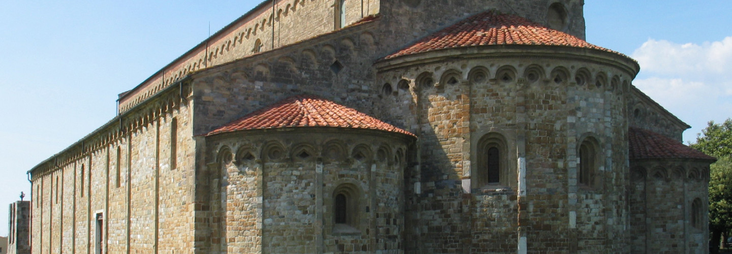
San Piero a Grado
Back in medioeval times, this location was just outside Pisa harbour, before the coastline started to advance toward the actual position.
Its name reminds of the medioeval morfology of its territory appearing in terraces ( “a grado”)dued to frequent floodings of river Arno, but used for coltivations thanks to the fertility of soils. According to a legend, St.Peter desembarked here in 44 a.c in a meander of river Arno.
The style of the Church is in Romanic ( see similarities with Santa Cristina church along Lungarno Gambacorti in PIsa).
Its bell tower was detroyed during 1944 by nazis withdrawing, and still need refurbishments (last ones in 2009)
